Home
Images
Vectors
Videos
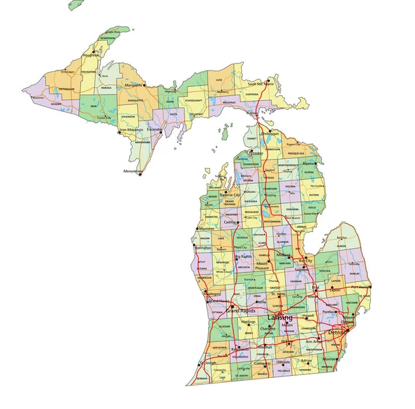
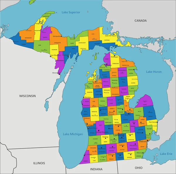
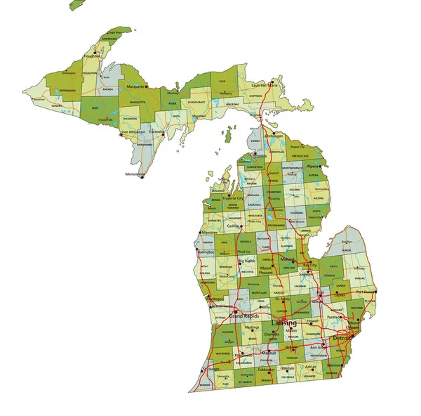
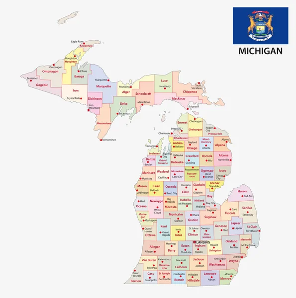
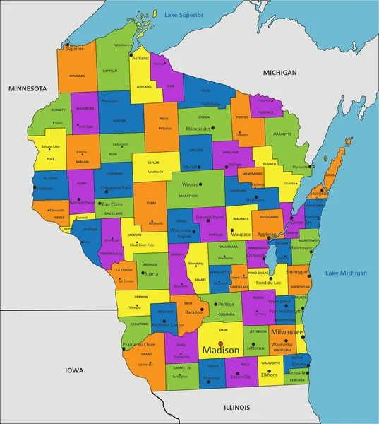
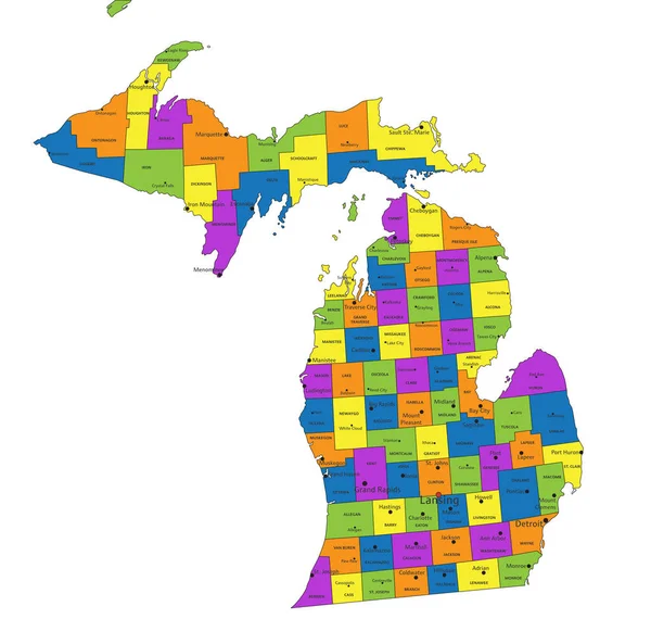
Stock vector Colorful Michigan political map with clearly labeled, separated layers. Vector illustration.
Published:
Apr.26, 2023 07:32:37
Author:
delpieroo
Views:
0
Downloads:
0
File type:
vector
/
eps
File size:
6.95 MB
Orginal size:
5866
x
5804
px
Available sizes:
S
(500 x 495)
M
(1000 x 989)
L
(2000 x 1979)
XL
(5866 x 5804)
VECT
(5866 x 5804)
EL0
(5866 x 5804)
Level:
bronze
Download Vector
Vector topics:
Green
Color
Yellow
Blue
Vector
Background
Colorful
Graphic
Colored
Illustration
Bright
Label
Travel
Orange
Vivid
Pastel
Purple
City
American
Us
Usa
Capital
East
Country
District
Map
Cartography
Geography
Continent
Land
State
Topography
Political
Interstate
Politics
Geographic
Editable
Mitten
Territory
Peninsula
County
Mapping
Rivers
Michigan
Detroit
Lansing
United States Of America
Great Lakes
Grand Rapids
Similar stock vectors
Michigan - Highly Detailed Editable Political Map With Labeling.
5875 × 5808
Colorful Michigan Political Map With Clearly Labeled, Separated Layers. Vector Illustration.
5872 × 5807
Accurate Map Of Michigan
4000 × 5000
Highly Detailed Editable Political Map With Separated Layers. Michigan.
5875 × 5808
Michigan Administrative And Political Vector Map With Flag
3100 × 3122
Colorful County Map With Counties Names Of The US Federal State Of Michigan
3600 × 4800
Accurate Map Of Michigan
4000 × 5000
Colorful Wisconsin Political Map With Clearly Labeled, Separated Layers. Vector Illustration.
4165 × 4645