photo free
Home Images Vectors Videos

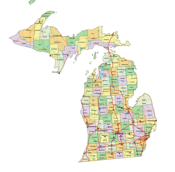
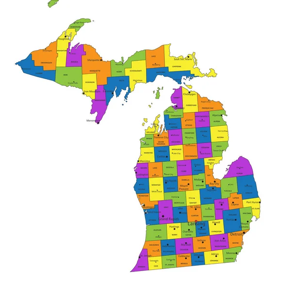
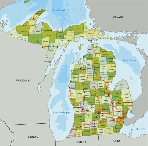
Stock vector Highly detailed editable political map with separated layers. Michigan.
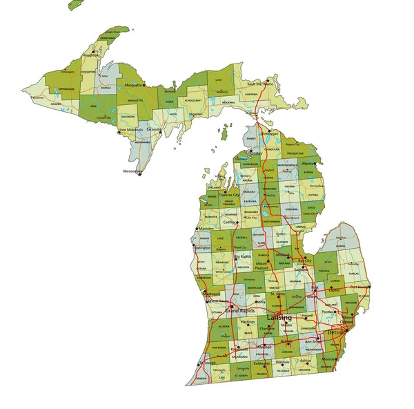
Stock vector Highly detailed editable political map with separated layers. Michigan.
Published: Apr.26, 2023 07:32:37
Author: delpieroo
Views: 0
Downloads: 0
File type: vector / eps
File size: 8.15 MB
Orginal size: 5875 x 5808 px
Available sizes:
S
(500 x 494)
M
(1000 x 989)
L
(2000 x 1977)
XL
(5875 x 5808)
VECT
(5875 x 5808)
EL0
(5875 x 5808)
Level: bronze
Download Vector
Vector topics:

Similar stock vectors

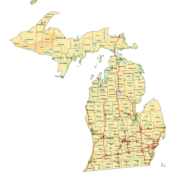
stock vector High detailed Michigan physical map with labeling.

High Detailed Michigan Physical Map With Labeling.

5875 × 5808
stock vector Michigan - Highly detailed editable political map with labeling.

Michigan - Highly Detailed Editable Political Map With Labeling.

5875 × 5808
stock vector Colorful County Map With Counties Names of the US Federal State of Michigan

Colorful County Map With Counties Names Of The US Federal State Of Michigan

3600 × 4800
stock vector Michigan detailed exact detailed vector State Map with Community Assistance and Activates Icons Original pastel yellow Illustration with main roads. United States of Americ

Michigan Detailed Exact Detailed Vector State Map With Community Assistance And Activates Icons Original Pastel Yellow Illustration With Main Roads. United States Of Americ

4906 × 5501
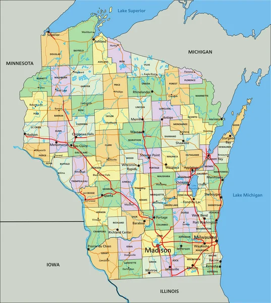
stock vector Wisconsin - Highly detailed editable political map with labeling.

Wisconsin - Highly Detailed Editable Political Map With Labeling.

4165 × 4645
stock vector Colorful Michigan political map with clearly labeled, separated layers. Vector illustration.

Colorful Michigan Political Map With Clearly Labeled, Separated Layers. Vector Illustration.

5866 × 5804
stock vector Highly detailed editable political map with separated layers. Michigan.

Highly Detailed Editable Political Map With Separated Layers. Michigan.

5872 × 5807
stock vector Low Poly map of  Michigan state

Low Poly Map Of Michigan State

7000 × 4948