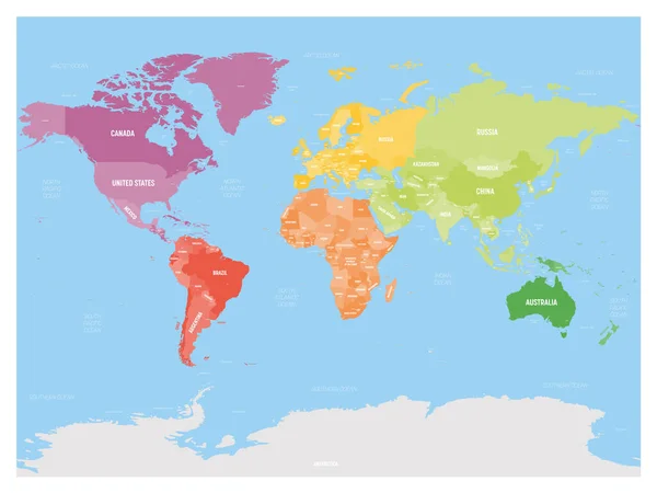
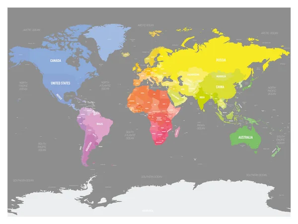
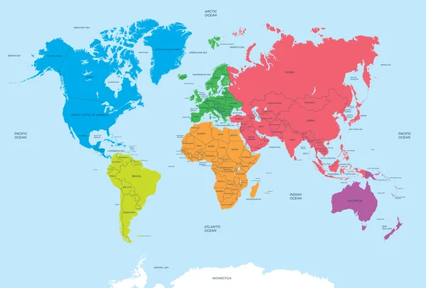
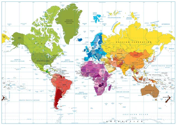
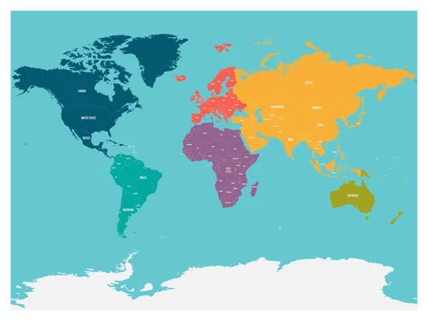
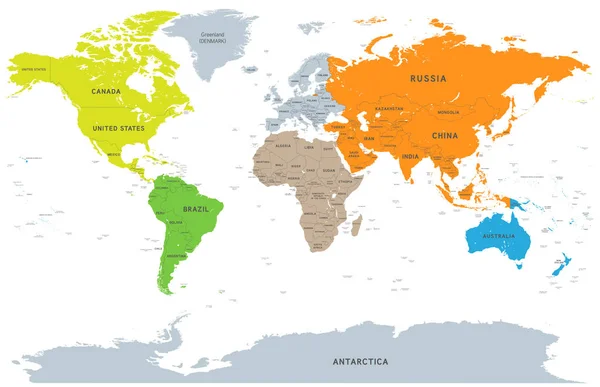
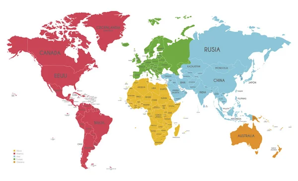
Stock vector Colorful political map of World divided into six continents on blue background. With countries, capital cities, seas and oceans labels. Vector illustration

Published: Apr.02, 2020 19:17:40
Author: pyty
Views: 142
Downloads: 2
File type: vector / eps
File size: 5.9 MB
Orginal size: 6000 x 4500 px
Available sizes:
Level: silver