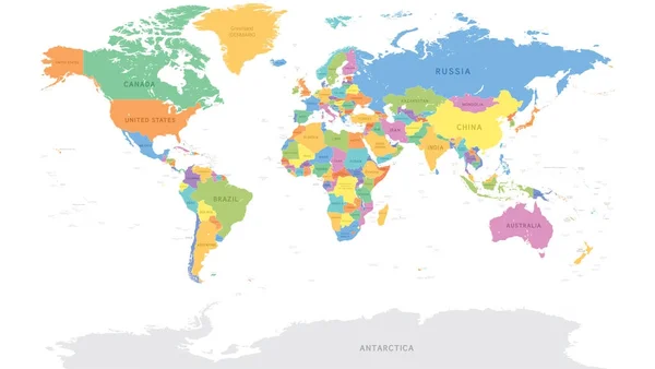
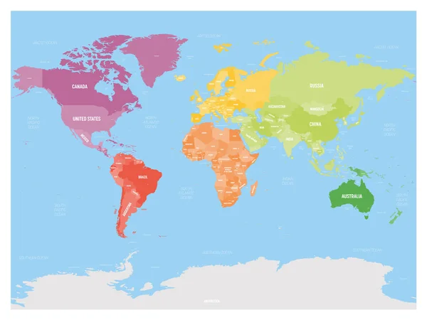
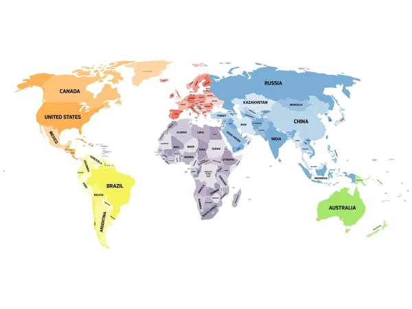
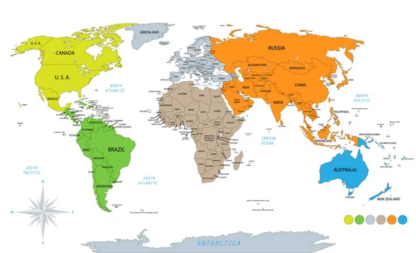
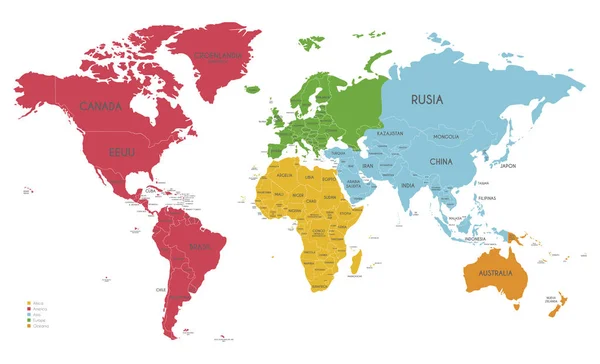
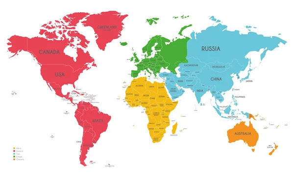
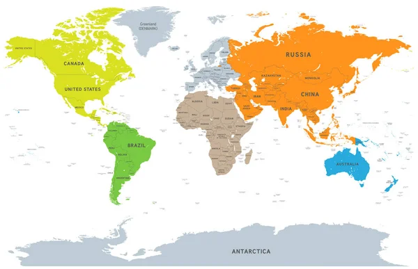
Stock vector Vector Detailed Continent World Map
Published: Mar.21, 2018 11:05:24
Author: pingebat
Views: 326
Downloads: 5
File type: vector / eps
File size: 9.69 MB
Orginal size: 7571 x 4892 px
Available sizes:
Level: silver