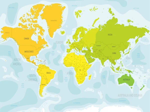
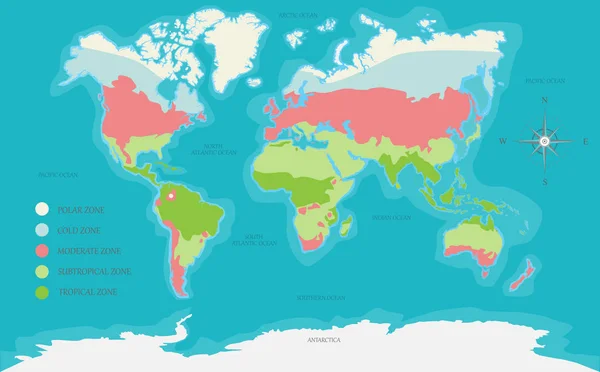
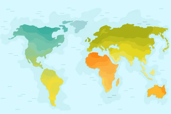
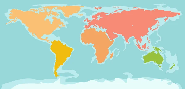
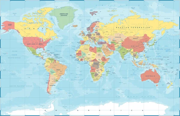
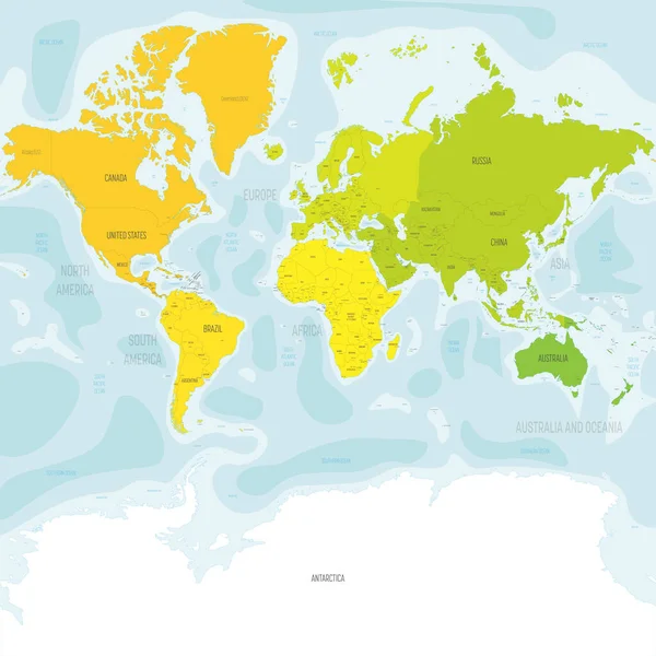
Stock vector Colorful political map World continents.
Published: Feb.28, 2022 09:49:45
Author: pyty
Views: 2
Downloads: 0
File type: vector / eps
File size: 15.7 MB
Orginal size: 8000 x 8000 px
Available sizes:
Level: silver