Home
Images
Vectors
Videos
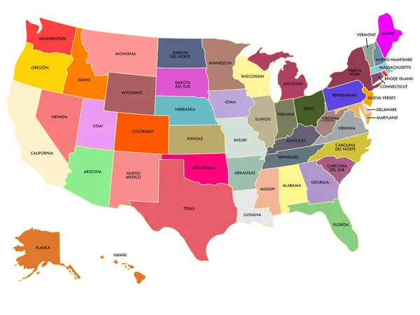
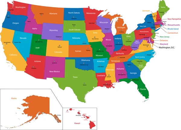
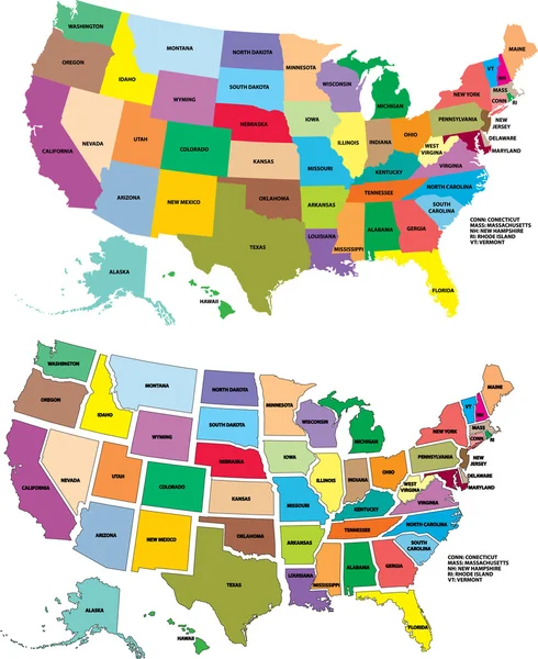
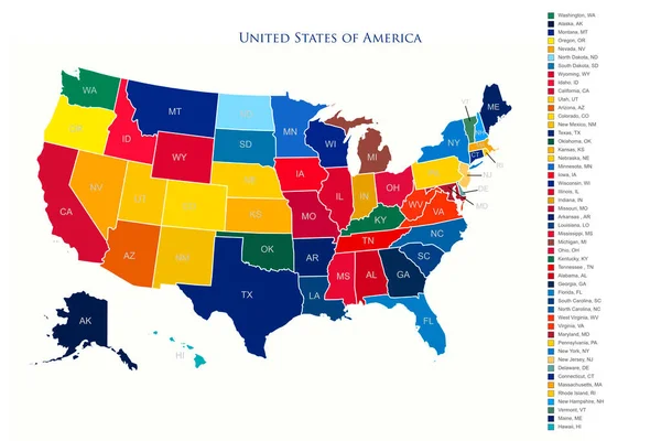
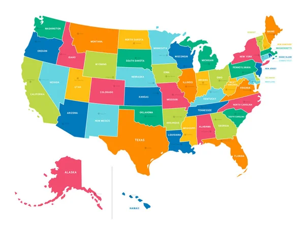
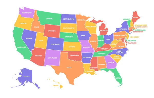
Stock vector Colorful USA map. United States of America regions with different colors and names for travel and geography vector illustration infographic design. US land territory banner for education
Published:
Jun.14, 2023 10:58:54
Author:
winwin.artlab@gmail.com
Views:
15
Downloads:
1
File type:
vector
/
eps
File size:
0.66 MB
Orginal size:
5444
x
3500
px
Available sizes:
S
(500 x 321)
M
(1000 x 643)
L
(2000 x 1286)
XL
(5444 x 3500)
VECT
(5444 x 3500)
EL0
(5444 x 3500)
Level:
bronze
Download Vector
Vector topics:
Color
Vector
Illustration
Design
Travel
Border
Multicolor
Education
World
American
Us
Usa
Name
Country
Map
Cartography
Geography
Continent
Land
Jersey
Different
State
Texas
Arizona
Nevada
Topography
America
United
Washington
Region
York
Territory
California
Massachusetts
Florida
Colorado
Utah
Alaska
Montana
Michigan
Illinois
Alabama
Arkansas
Mississippi
Kansas
Louisiana
Missouri
Ohio
Infographic
Similar stock vectors
Color Map Of The United States With Names
2732 × 2048
Colorful USA Map
7474 × 5384
Poster Map Of The United States Of America With The Names Of The States. Black And White Printed Map Of The United States For T-shirts, Posters Or Geographical Themes. Drawn Map With States. Vector
4167 × 4167
Vector USA Map
2000 × 2448
United States Of America Colorful Map With States And Borders Illustration
6000 × 4000
Bright Colors Full Vector Political Map Of The United States Of America, Isolated On White Background
6674 × 4983
Map Of America. United States Political Map. US Blueprint With The Titles Of States And Regions. All Countries Are Named In The Layer Panel
8192 × 4690