Home
Images
Vectors
Videos
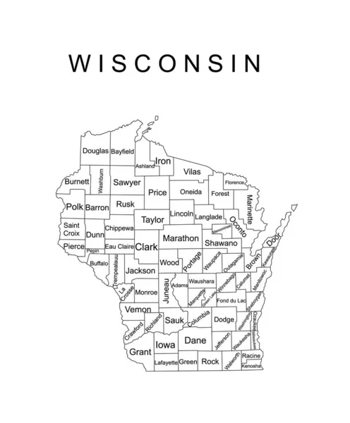
Stock vector Colorful Wisconsin State vector map silhouette illustration isolated on black background. High detailed illustration. United state of America country. Wisconsin line contour map separated counties.
Published:
Nov.02, 2022 11:16:27
Author:
Dovla982
Views:
1
Downloads:
0
File type:
vector
/
eps
File size:
1.04 MB
Orginal size:
4347
x
5252
px
Available sizes:
S
(414 x 500)
M
(828 x 1000)
L
(1655 x 2000)
XL
(4347 x 5252)
VECT
(4347 x 5252)
EL0
(4347 x 5252)
Level:
bronze
Download Vector
Vector topics:
White
Vector
Background
Graphic
Illustration
Isolated
Shape
Sign
Label
Travel
Cut
Line
Silhouette
Border
Symbol
Icon
Mark
Contour
Earth
World
American
Us
Usa
Tourism
Landmark
Beam
Navigation
Outline
Country
Map
Cartography
Geography
Area
National
State
Chart
America
Federation
United
Region
Federal
Territory
Nation
Geographical
Wisconsin
Federated
Madison
Milwaukee
Wisconsin Map
Similar stock vectors
Colorful Wisconsin State Vector Map Silhouette Illustration Isolated On Black Background. High Detailed Illustration. United State Of America Country. Wisconsin Line Contour Map Separated Counties.
4347 × 5252
Colorful Wisconsin State Vector Map Silhouette Illustration Isolated On White Background. High Detailed Illustration. United State Of America Country. Wisconsin Line Contour Map Separated Counties.
4347 × 5252
Wisconsin State Vector Map Silhouette Illustration Isolated On White Background. High Detailed Illustration. United State Of America Country. Wisconsin Line Contour Travel Map With Separated Counties
4347 × 5252
The Wisconsin State Map And Its Counties With Labels
5000 × 5000
Yellow Map Of Wisconsin With Indication Of Largest Cities
4000 × 4000
Wisconsin USA Map Black Inverted Silhouette
5000 × 5329
Wisconsin State Vector Map Silhouette Illustration Isolated On Gray Background. High Detailed Illustration. United State Of America Country. Wisconsin Line Contour Map With Separated Counties.
4347 × 5252
Blue Map Of Wisconsin With Indication Of Madison
4000 × 4000