Home
Images
Vectors
Videos
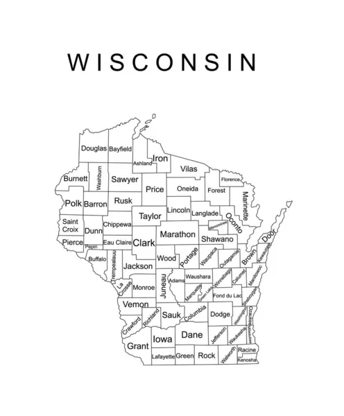
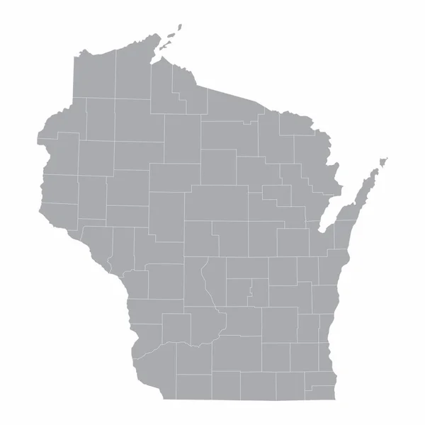
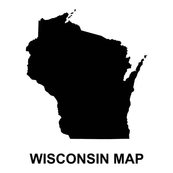
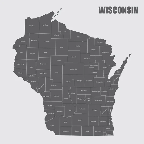
Stock vector The Wisconsin state map and its counties with labels
Published:
Feb.27, 2020 09:02:01
Author:
luisrftc
Views:
6
Downloads:
1
File type:
vector
/
eps
File size:
9.43 MB
Orginal size:
5000
x
5000
px
Available sizes:
S
(500 x 500)
M
(1000 x 1000)
L
(2000 x 2000)
XL
(5000 x 5000)
VECT
(5000 x 5000)
EL0
(5000 x 5000)
Level:
bronze
Download Vector
Vector topics:
White
Blue
Vector
Background
Illustration
Design
Isolated
Shape
Travel
Abstract
Transport
Black
Line
Silhouette
Gray
Symbol
Lines
Flat
American
Us
Usa
Tourism
Detailed
North
Outline
Map
Cartography
Geography
Area
State
Location
America
United
States
Federal
Territory
Labels
County
Names
Wisconsin
Topographical
Counties
Similar stock vectors
Wisconsin State Vector Map Silhouette Illustration Isolated On White Background. High Detailed Illustration. United State Of America Country. Wisconsin Line Contour Travel Map With Separated Counties
4347 × 5252
Wisconsin USA Map Black Inverted Silhouette
5000 × 5329
Wisconsin State Vector Map Silhouette Illustration Isolated On Gray Background. High Detailed Illustration. United State Of America Country. Wisconsin Line Contour Map With Separated Counties.
4347 × 5252
Wisconsin Map Icon. Wisconsin Icon Vector
4375 × 4375
Wisconsin Map Icon. Wisconsin Icon Vector
4375 × 4375
The Wisconsin State Map And Its Counties
5000 × 5000
Wisconsin Map Shape, United States Of America. Flat Concept Icon Symbol Vector Illustration .
4096 × 4096
Colorful Wisconsin State Vector Map Silhouette Illustration Isolated On Black Background. High Detailed Illustration. United State Of America Country. Wisconsin Line Contour Map Separated Counties.
4347 × 5252