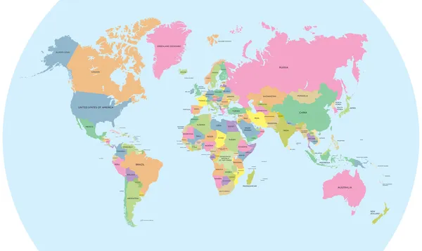
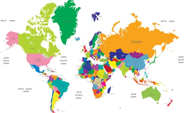
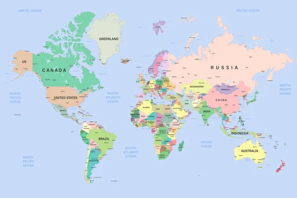
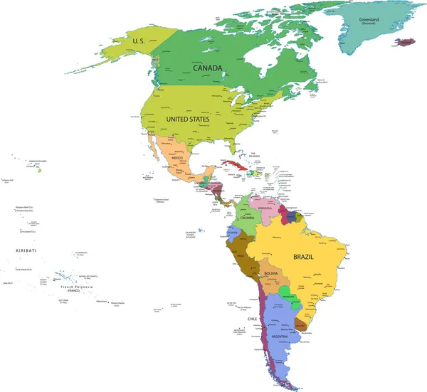
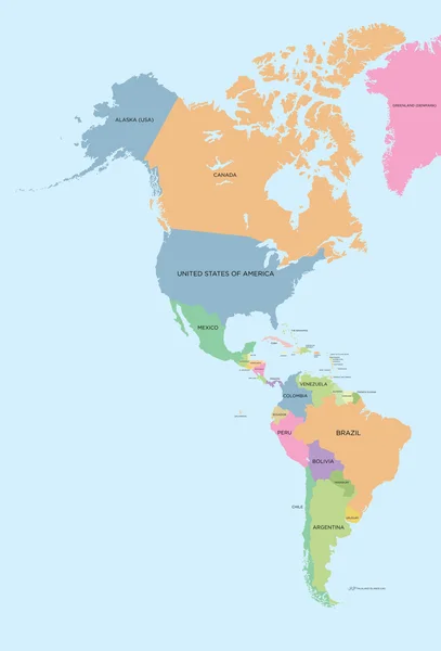
Stock vector Coloured political map of North and South America
Published: Oct.14, 2013 07:52:43
Author: Max_776
Views: 5763
Downloads: 22
File type: vector / eps
File size: 2.17 MB
Orginal size: 3744 x 5512 px
Available sizes:
Level: bronze