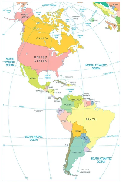
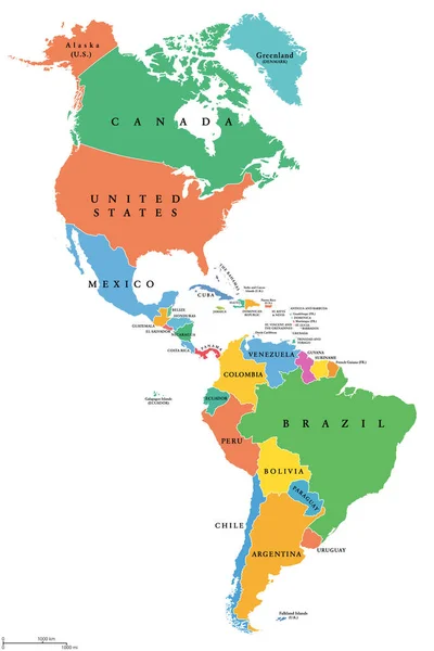
Stock vector North and South America - map - illustration.

Published: Aug.14, 2015 10:28:59
Author: dikobrazik
Views: 1455
Downloads: 11
File type: vector / eps
File size: 1.91 MB
Orginal size: 5400 x 8116 px
Available sizes:
Level: silver