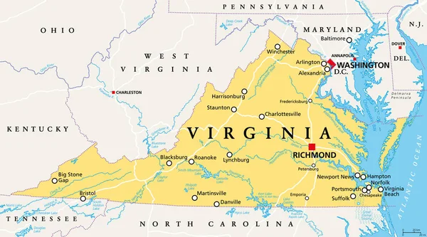
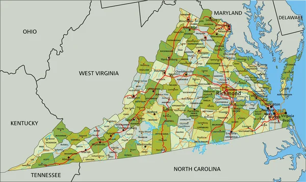
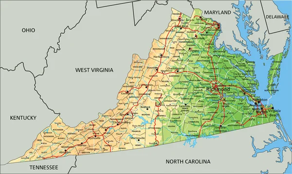
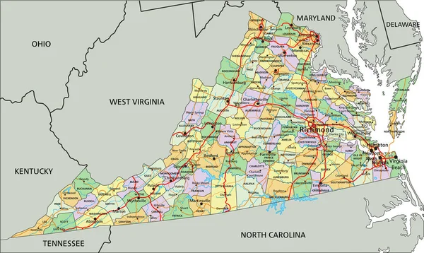
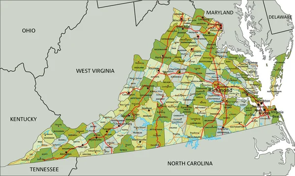
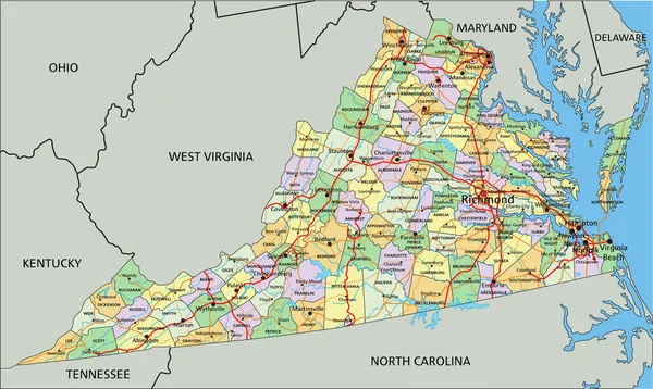
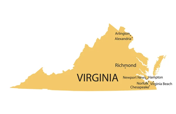
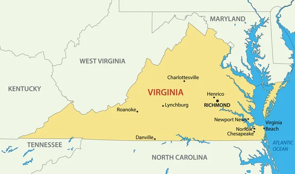
Stock vector Commonwealth of Virginia - vector map
Published: Apr.20, 2015 09:36:17
Author: pavalena
Views: 264
Downloads: 5
File type: vector / eps
File size: 1.01 MB
Orginal size: 5618 x 3318 px
Available sizes:
Level: bronze