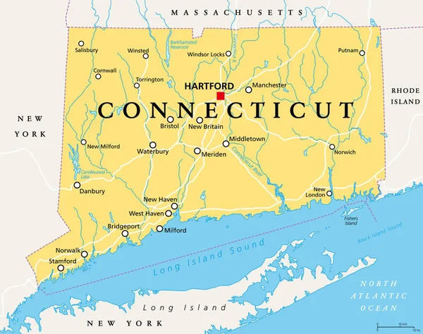
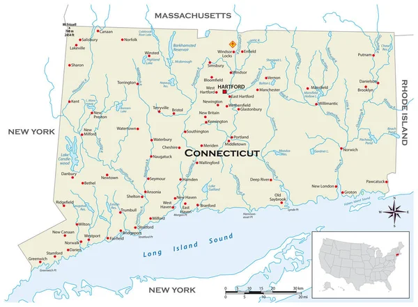
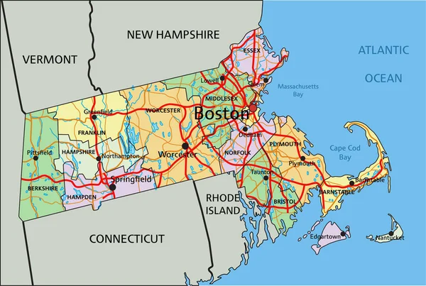
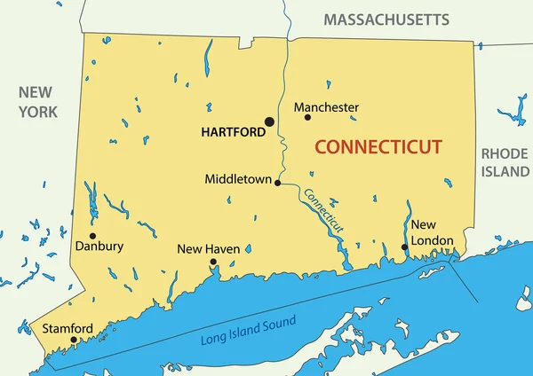
Stock vector Connecticut - vector map of state
Published: Mar.01, 2016 05:12:03
Author: pavalena
Views: 208
Downloads: 1
File type: vector / eps
File size: 0.51 MB
Orginal size: 4620 x 3267 px
Available sizes:
Level: bronze