Home
Images
Vectors
Videos
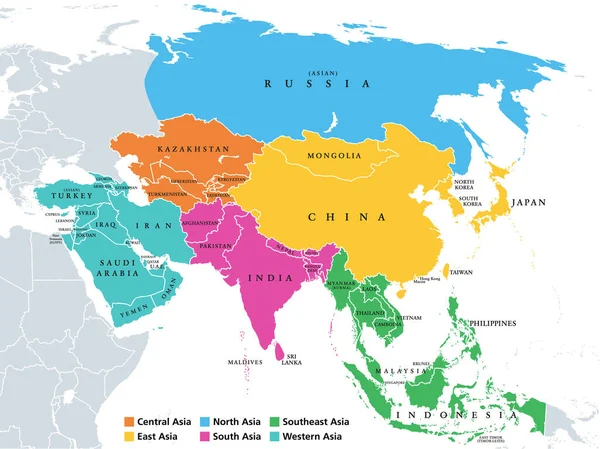
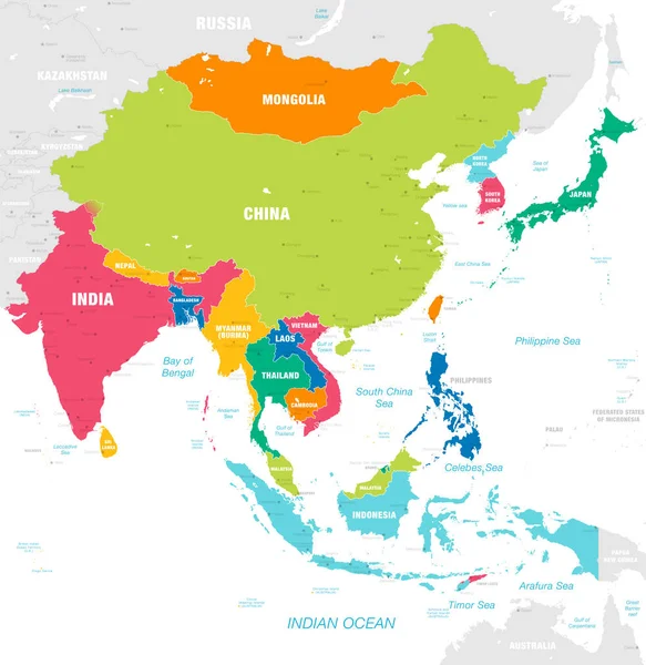
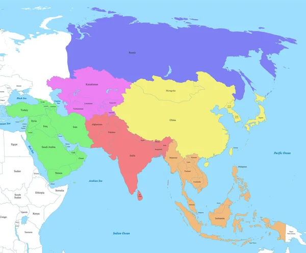
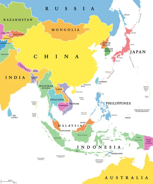
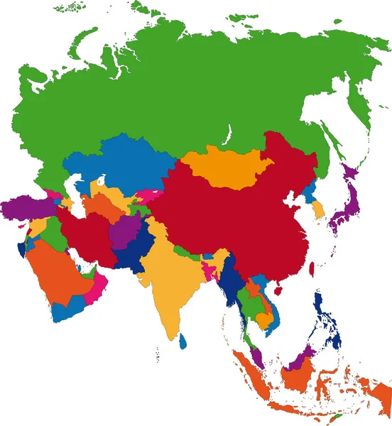
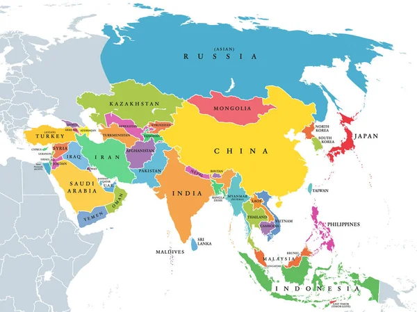
Stock vector Continent Asia, political map with colored single states and countries. With the Asian part of Russia and Turkey and Sinai Peninsula as African part. English labeling. Illustration over white. Vector.
Published:
Apr.06, 2020 13:15:36
Author:
Furian
Views:
1279
Downloads:
4
File type:
vector
/
eps
File size:
3.64 MB
Orginal size:
8015
x
6000
px
Available sizes:
S
(500 x 374)
M
(1000 x 749)
L
(2000 x 1497)
XL
(8015 x 6000)
VECT
(8015 x 6000)
EL0
(8015 x 6000)
Level:
silver
Download Vector
Vector topics:
Color
Vector
Illustration
Multi
Multicolor
Earth
World
North
Europe
East
Asian
China
South
Russia
Country
Western
Map
Cartography
Geography
Africa
Continent
Turkey
Asia
State
Japan
Borders
Political
India
Region
Arabian
Central
English
Boundaries
Atlas
Southeast
Peninsula
Ural
Indonesia
Sinai
Indies
Mapping
Hemisphere
Eurasia
Names
Transcontinental
Infographic
White Background
Middle East
New Guinea
Political Map
Similar stock vectors
Main Regions Of Asia. Political Map With Single Countries. Colored Subregions Of The Asian Continent. Central, East, North, South, Southeast And Western Asia. English Labeled. Illustration. Vector.
8015 × 6000
Vector Map Of East Asia Continent With Countries, Capitals, Main Cities And Seas And Islands Names In Strong Brilliant Colors Palette.
6890 × 7087
Political Color Map Of Asia With Borders Of The States.
4828 × 4000
East Asia, Single States, Political Map. All Countries In Different Colors, With National Borders, Labeled With English Country Names. Eastern Subregion Of The Asian Continent. Illustration. Vector.
6000 × 7202
Asia, Political Map, States And Countries Of The Largest Continent. With The Asian Part Of Russia And Turkey And The Sinai Peninsula As African Part. English Labeling. Illustration Over White. Vector.
8015 × 6000
Countries And Capitals Of The Asia
2640 × 2200
ASIA MAP WITH THE NAME OF THE COUNTRIES Illustration Vector - Vector Illustration
5000 × 5000
Colorful Asia Map
6906 × 7503