Home
Images
Vectors
Videos
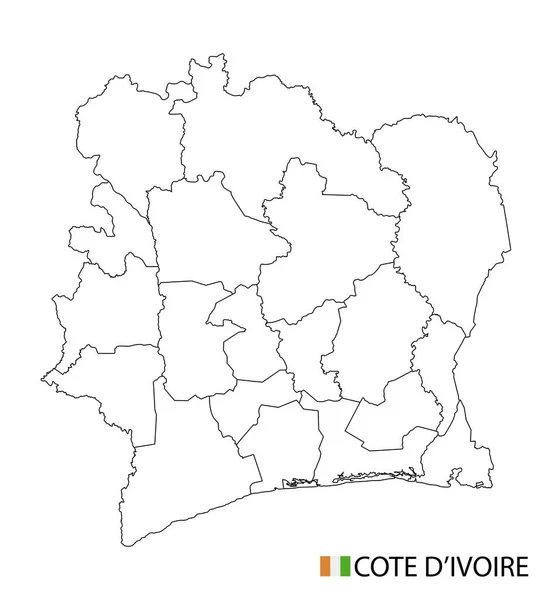
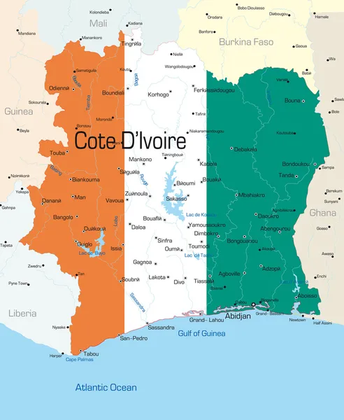
Stock vector Detailed map of Cote d'Ivoire administrative divisions with country flag and location on the globe. Vector illustration
Published:
Nov.03, 2020 09:59:42
Author:
gt29
Views:
0
Downloads:
0
File type:
vector
/
eps
File size:
12.06 MB
Orginal size:
5340
x
6497
px
Available sizes:
S
(411 x 500)
M
(822 x 1000)
L
(1644 x 2000)
XL
(5340 x 6497)
VECT
(5340 x 6497)
EL0
(5340 x 6497)
Level:
bronze
Download Vector
Vector topics:
Red
White
Blue
Vector
Background
Set
Business
Travel
Abstract
Pattern
Border
Weather
Flag
3d
Icon
Shadow
Earth
Planet
Tourism
Globe
Collection
Sheet
Country
Map
Cartography
Geography
Africa
Continent
Separation
State
Political
Pictogram
Marker
Separated
Hemisphere
Provinces
Ivorian
Abidjan
Yamoussoukro
Municipalities
Infographics
Cote DIvoire
Republic Of Cote Divoire
Administrative Divisions
Art World
Cote Divoire Map
Similar stock vectors
3d Map With Borders Of Regions
4000 × 4000
Isolated Colored Map Of Cote D'Ivoire With Borders Of The Regions
4000 × 4000
Verctor Map Of Cities And Roads In Cote DIvoire.
7087 × 7087
Cote D'Ivoire Map, Black And White Detailed Outline Regions Of The Country. Vector Illustration
5240 × 5690
Vector Map Of Cote Divoire Isolated On White Background.
5000 × 5000
Cote D'Ivoire
2844 × 3466
Map Of Pays-de-la-loire With Borders In Green
4527 × 3534
Map Of Pays-de-la-loire With Borders In Pastel Green
4527 × 3534