Home
Images
Vectors
Videos
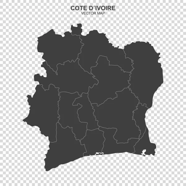
Stock vector Isolated colored map of Cote d'Ivoire with borders of the regions
Published:
Jun.14, 2023 20:09:59
Author:
grebeshkovmaxim@gmail.com
Views:
4
Downloads:
2
File type:
vector
/
eps
File size:
2.29 MB
Orginal size:
4000
x
4000
px
Available sizes:
S
(500 x 500)
M
(1000 x 1000)
L
(2000 x 2000)
XL
(4000 x 4000)
VECT
(4000 x 4000)
EL0
(4000 x 4000)
Level:
silver
Download Vector
Vector topics:
Color
Blue
Vector
Background
Colorful
Graphic
Colored
Illustration
Label
Travel
Border
City
Contour
Simple
Detailed
Capital
Name
Country
Map
Cartography
Geography
National
Continent
Land
State
Topography
Boundary
Political
Administrative
Geographic
Region
Division
Territory
Atlas
Province
Nation
County
Labeled
Cote DIvoire
Ivory Coast
Similar stock vectors
Cote D'Ivoire Map, Black And White Detailed Outline Regions Of The Country. Vector Illustration
5240 × 5690
Black Cote D'Ivoire Map - Vector Illustration
6000 × 6000
3d Map With Borders Of Regions
4000 × 4000
Green Map Of Cote D'Ivoire Or Ivory Coast With Outline Vector Design Template. Editable Stroke
5000 × 5000
Political Map Of Cote Divoire Isolated On Transparent Background
6000 × 6000
Political Map Of Cote Divoire Isolated On Transparent Background
6000 × 6000
Detailed Map Of Cote D'Ivoire Administrative Divisions With Country Flag And Location On The Globe. Vector Illustration
5340 × 6497
Administrative Map Of The New French Region Bourgogne-Franche-Comte
3927 × 3100