photo free
Home Images Vectors Videos

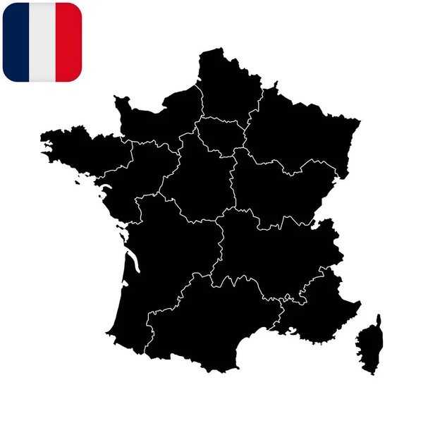
Stock vector Detailed map of France administrative divisions with country flag and location on the globe.
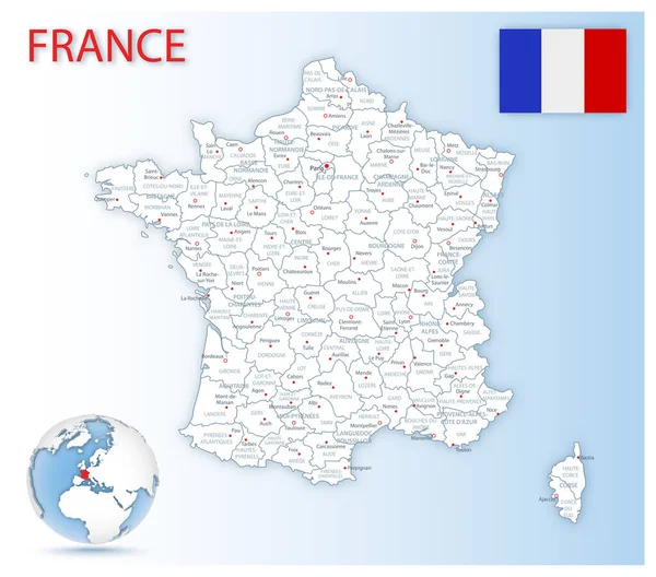
Stock vector Detailed map of France administrative divisions with country flag and location on the globe.
Published: Mar.31, 2020 11:16:55
Author: gt29
Views: 29
Downloads: 0
File type: vector / eps
File size: 32.48 MB
Orginal size: 6034 x 5314 px
Available sizes:
S
(500 x 440)
M
(1000 x 881)
L
(2000 x 1761)
XL
(6034 x 5314)
VECT
(6034 x 5314)
EL0
(6034 x 5314)
Level: bronze
Download Vector
Vector topics:

Similar stock vectors

stock vector The detailed map of the France with regions or states and cities, capital, national flag

The Detailed Map Of The France With Regions Or States And Cities, Capital, National Flag

5000 × 5000
stock vector France with regions. Vector illustration.

France With Regions. Vector Illustration.

8334 × 8334
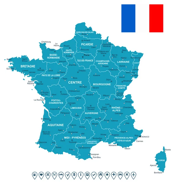
stock vector France map, flag and navigation labels - illustration.

France Map, Flag And Navigation Labels - Illustration.

5400 × 5669
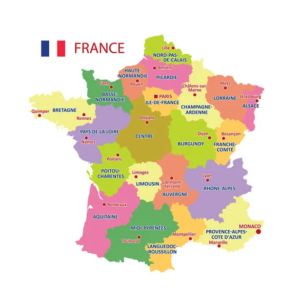
stock vector Vector Map of France with detailed Administrative divisions and borders, City and Region Names and international bordering countries in bright colors palette

Vector Map Of France With Detailed Administrative Divisions And Borders, City And Region Names And International Bordering Countries In Bright Colors Palette

4134 × 4237
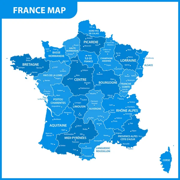
stock vector The detailed map of the France with regions or states and cities, capital

The Detailed Map Of The France With Regions Or States And Cities, Capital

5000 × 5000
stock vector France political map

France Political Map

7000 × 6079
stock vector Vector France map

Vector France Map

5820 × 5617
stock vector Outline France map

Outline France Map

5154 × 4788