Home
Images
Vectors
Videos
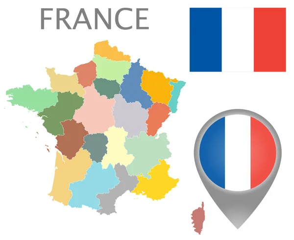
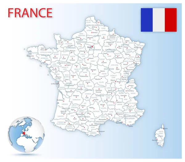
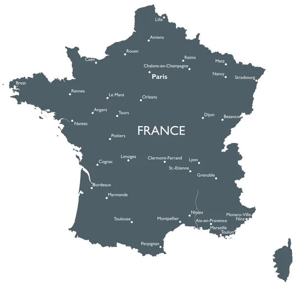
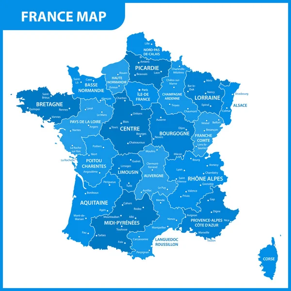
Stock vector France political map
Published:
Sep.26, 2014 10:47:10
Author:
delpieroo
Views:
258
Downloads:
0
File type:
vector
/
eps
File size:
12.42 MB
Orginal size:
7000
x
6079
px
Available sizes:
S
(500 x 434)
M
(1000 x 868)
L
(2000 x 1737)
XL
(7000 x 6079)
VECT
(7000 x 6079)
EL0
(7000 x 6079)
Level:
bronze
Download Vector
Vector topics:
Green
Vector
Background
Illustration
Set
Travel
Colour
European
French
Border
Flag
City
France
Capital
North
Europe
Shade
East
South
Dots
Pointer
Outline
Country
West
Map
Geography
National
Land
State
Topography
Political
Politics
Union
Republic
Eu
Region
Patriotic
Subdivision
Mapping
Regions
Infographics
Similar stock vectors
The Detailed Map Of The France With Regions Or States
5000 × 5000
Colorful Flag, Map Pointer And Map Of France With The Administrative Divisions. High Detail. Vector Illustration
5500 × 4500
Detailed Map Of France Administrative Divisions With Country Flag And Location On The Globe.
6034 × 5314
Vector France Map
5820 × 5617
Map Of Cities And Roads In France.
4724 × 4724
The Detailed Map Of The France With Regions Or States And Cities, Capital
5000 × 5000
Blue Map Of France
4000 × 4000
The Detailed Map Of The France With Regions Or States
7500 × 7500