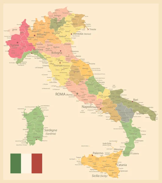
Stock vector Detailed map of Italy with administrative divisions into regions and provinces of the country, vector illustration on white background

Published: Jan.27, 2021 09:47:24
Author: martinova4
Views: 30
Downloads: 0
File type: vector / eps
File size: 3.17 MB
Orginal size: 6372 x 7677 px
Available sizes:
Level: beginner
Similar stock vectors


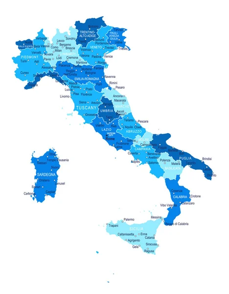
Vector Blank Map Of Italy With Regions And Administrative Divisions. Editable And Clearly Labeled Layers.
4000 × 4725