photo free
Home Images Vectors Videos

Stock vector Detailed map of the Free State of Thuringia (Germany) with borders of municipalities, municipalities associations, districts, and state. Vector illustration

Stock vector Detailed map of the Free State of Thuringia (Germany) with borders of municipalities, municipalities associations, districts, and state. Vector illustration
Published: May.10, 2017 17:45:03
Author: Dorky
Views: 148
Downloads: 1
File type: vector / eps
File size: 11.38 MB
Orginal size: 5000 x 5000 px
Available sizes:
S
(500 x 500)
M
(1000 x 1000)
L
(2000 x 2000)
XL
(5000 x 5000)
VECT
(5000 x 5000)
EL0
(5000 x 5000)
Level: beginner
Download Vector
Vector topics:

Similar stock vectors

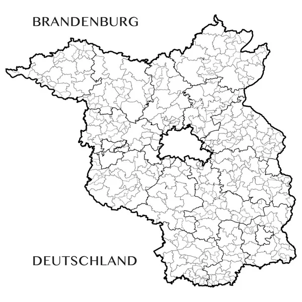
stock vector Detailed map of the State of Brandenburg (Germany) with borders of municipalities, municipalities associations, districts, and state. Vector illustration

Detailed Map Of The State Of Brandenburg (Germany) With Borders Of Municipalities, Municipalities Associations, Districts, And State. Vector Illustration

5000 × 5000
stock vector Detailed map of the State of North Rhine - Westphalia (Germany) with borders of municipalities, subdistricts, districts, and provinces. Vector illustration

Detailed Map Of The State Of North Rhine - Westphalia (Germany) With Borders Of Municipalities, Subdistricts, Districts, And Provinces. Vector Illustration

5000 × 5000
stock vector Detailed map of the State of Lower Saxony (Germany) with borders of municipalities, municipalities associations, subdistricts, districts, and state. Vector illustration

Detailed Map Of The State Of Lower Saxony (Germany) With Borders Of Municipalities, Municipalities Associations, Subdistricts, Districts, And State. Vector Illustration

5000 × 5000
stock vector Detailed map of the State of Hesse (Germany) with borders of municipalities, subdistricts, districts, and state. Vector illustration

Detailed Map Of The State Of Hesse (Germany) With Borders Of Municipalities, Subdistricts, Districts, And State. Vector Illustration

5000 × 5000
stock vector Detailed map of the State of Saxony Anhalt (Germany) with borders of municipalities, municipalities associations, districts, and state. Vector illustration

Detailed Map Of The State Of Saxony Anhalt (Germany) With Borders Of Municipalities, Municipalities Associations, Districts, And State. Vector Illustration

5000 × 5000
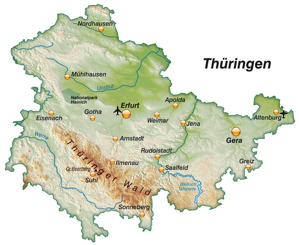
stock image map of thueringen as an overview map as shading

Map Of Thueringen As An Overview Map As Shading

4533 × 3733
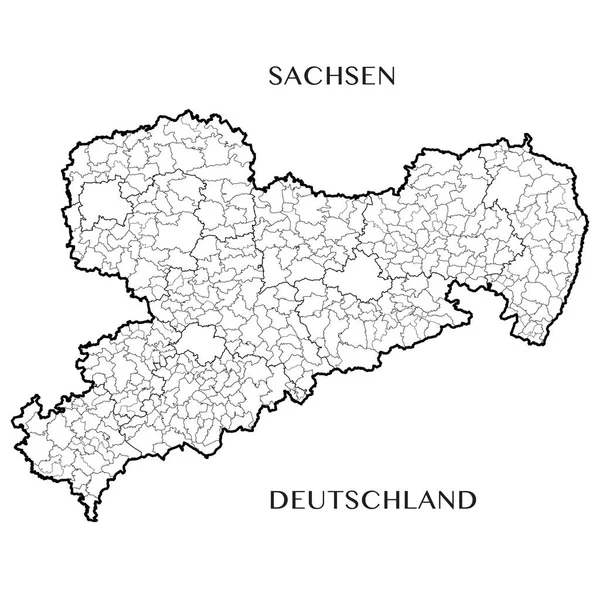
stock vector Detailed map of the Free State of Saxony (Germany) with borders of municipalities, municipalities associations, districts, and state. Vector illustration

Detailed Map Of The Free State Of Saxony (Germany) With Borders Of Municipalities, Municipalities Associations, Districts, And State. Vector Illustration

5000 × 5000
stock vector Nuremberg city map grey illustration silhouette shape

Nuremberg City Map Grey Illustration Silhouette Shape

5000 × 6179