photo free
Home Images Vectors Videos

Stock vector Detailed map of the French region Grand Est (France) with borders of municipalities, subdistricts (cantons), districts (arrondissements), departments (departements), and region

Stock vector Detailed map of the French region Grand Est (France) with borders of municipalities, subdistricts (cantons), districts (arrondissements), departments (departements), and region
Published: Apr.20, 2017 09:12:39
Author: Dorky
Views: 440
Downloads: 2
File type: vector / eps
File size: 8.61 MB
Orginal size: 5000 x 5000 px
Available sizes:
S
(500 x 500)
M
(1000 x 1000)
L
(2000 x 2000)
XL
(5000 x 5000)
VECT
(5000 x 5000)
EL0
(5000 x 5000)
Level: beginner
Download Vector
Vector topics:

Similar stock vectors

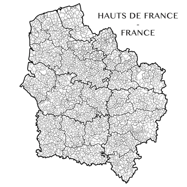
stock vector Detailed map of the French region Hauts de France (France) with borders of municipalities, subdistricts (cantons), districts (arrondissements), departments (departements), and region

Detailed Map Of The French Region Hauts De France (France) With Borders Of Municipalities, Subdistricts (cantons), Districts (arrondissements), Departments (departements), And Region

5000 × 5000
stock vector Detailed map of the Region of Bourgogne Franche Comte (France) with borders of municipalities, subdistricts (cantons), districts (arrondissements), and departments (departements). Vector illustration

Detailed Map Of The Region Of Bourgogne Franche Comte (France) With Borders Of Municipalities, Subdistricts (cantons), Districts (arrondissements), And Departments (departements). Vector Illustration

5000 × 5000
stock vector Detailed map of the French region Centre Val de Loire (France) with borders of municipalities, subdistricts (cantons), districts (arrondissements), departments (departements), and region

Detailed Map Of The French Region Centre Val De Loire (France) With Borders Of Municipalities, Subdistricts (cantons), Districts (arrondissements), Departments (departements), And Region

5000 × 5000
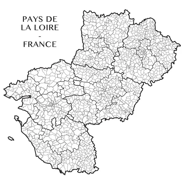
stock vector Detailed map of the French region of Pays de la Loire (France) with borders of municipalities, subdistricts (cantons), districts (arrondissements), departments (departements), and region

Detailed Map Of The French Region Of Pays De La Loire (France) With Borders Of Municipalities, Subdistricts (cantons), Districts (arrondissements), Departments (departements), And Region

5000 × 5000
stock vector Detailed map of the French region Ile de France (France) with borders of municipalities, subdistricts (cantons), districts (arrondissements), departments (departements), and region

Detailed Map Of The French Region Ile De France (France) With Borders Of Municipalities, Subdistricts (cantons), Districts (arrondissements), Departments (departements), And Region

5000 × 5000
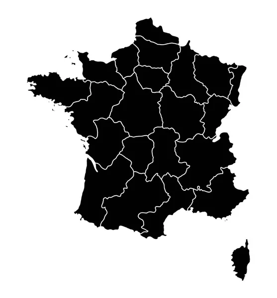
stock vector Outline map of France

Outline Map Of France

6401 × 6893
stock vector Detailed map of the French region of Occitanie (France) with borders of municipalities, subdistricts (cantons), districts (arrondissements), departments (departements), and region

Detailed Map Of The French Region Of Occitanie (France) With Borders Of Municipalities, Subdistricts (cantons), Districts (arrondissements), Departments (departements), And Region

5000 × 5000
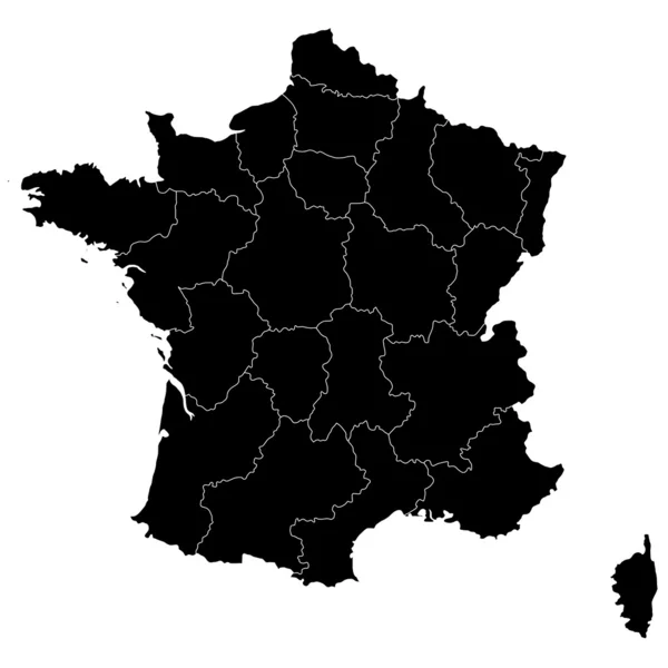
stock vector France

France

3874 × 3874