Home
Images
Vectors
Videos
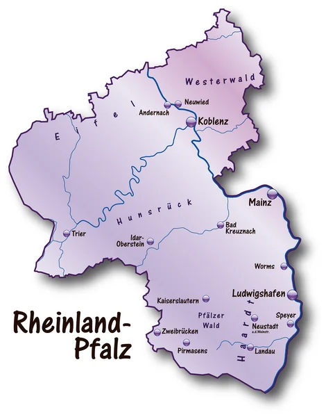
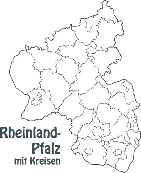
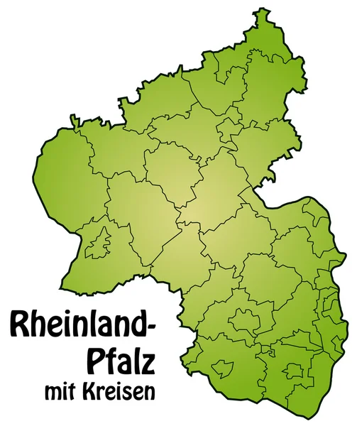
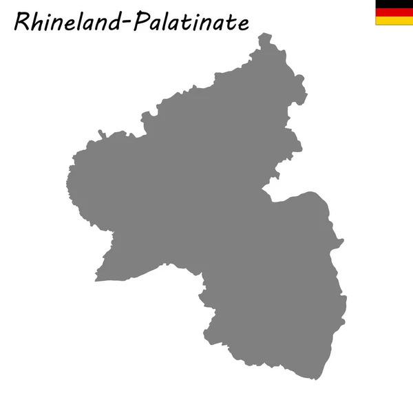
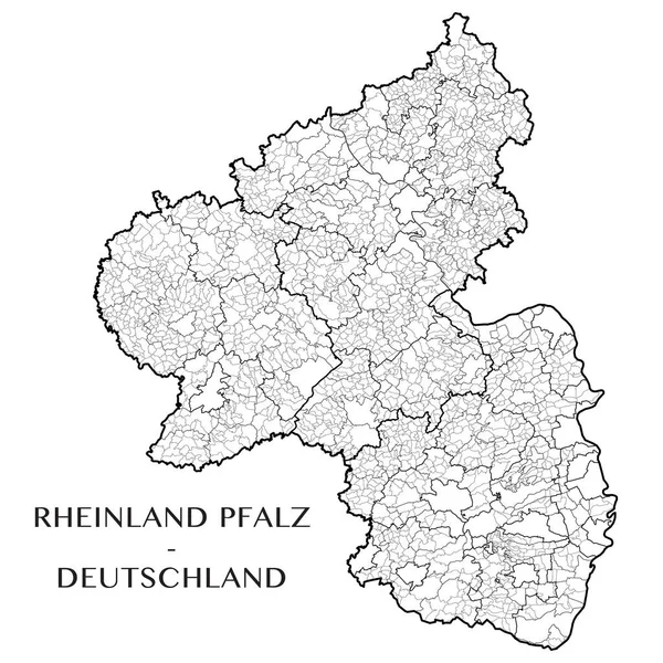
Stock vector Detailed map of the State of Rhineland Palatinate (Rheinland Pfalz, Germany) with borders of municipalities, municipalities associations, subdistricts, districts, and state. Vector illustration
Published:
Apr.20, 2017 09:12:39
Author:
Dorky
Views:
372
Downloads:
1
File type:
vector
/
eps
File size:
14.11 MB
Orginal size:
5000
x
5000
px
Available sizes:
S
(500 x 500)
M
(1000 x 1000)
L
(2000 x 2000)
XL
(5000 x 5000)
VECT
(5000 x 5000)
EL0
(5000 x 5000)
Level:
beginner
Download Vector
Vector topics:
White
Vector
Background
Illustration
Line
Border
Village
Blank
Wallpaper
Education
Detailed
Town
Europe
German
District
Map
Cartography
Geography
Germany
State
Accurate
Political
Administrative
Internal
Region
Precise
Boundaries
Limit
Territory
Administration
Province
Subdivision
County
Borough
Township
Municipality
Contours
Rhine
Hesse
Geopolitical
Palatinate
Pfalz
Rheinland
Rhineland
Trier
Bundesland
Koblenz
Rheinhessen
Subdistrict
Municipalities Association
Similar stock vectors
Rheinland-Pfalz Germany Map Grey
5000 × 6281
Map Of Rhineland-palatinate With Borders In Gray
3769 × 4494
Rheinland-Pfalz In Flieder
5204 × 6628
Rhineland-Palatinate Map In German Language
3100 × 3920
In The Representation Of The Area Particular Emphasis Was Placed On The Clarity. The Card Can Be Used Immediately And Is Optimized For Printing And Use In Digital Media. The Color Mode Is Rgb.
4832 × 5888
High Quality Map Is A State Of Germany. Rhineland-Palatinate
4000 × 4000
Rheinland-Pfalz Mit Kreisen
4000 × 4767
High Quality Map Of Rhineland Palatinate
4167 × 4167