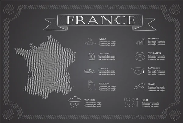
Stock vector Detailed monochrome map of France, gray country territory with geographical borders and administrative divisions on a white background, travel icons set, vector illustration
Published: Jan.19, 2021 15:23:01
Author: martinova4
Views: 0
Downloads: 0
File type: vector / eps
File size: 2.69 MB
Orginal size: 7087 x 5488 px
Available sizes:
Level: beginner
Similar stock vectors
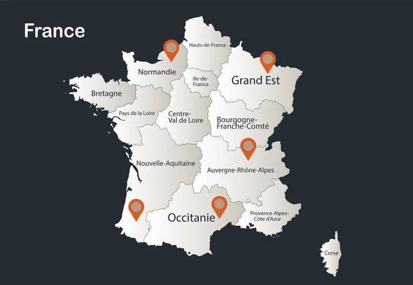
France Map, Infographics Flat Design Colors Snow White, With Names Of Individual Regions Vector
5218 × 3600


France Vector Map. Editable Template With Regions, Cities, Red Pins And Blue Surface On White Background.
4000 × 4000