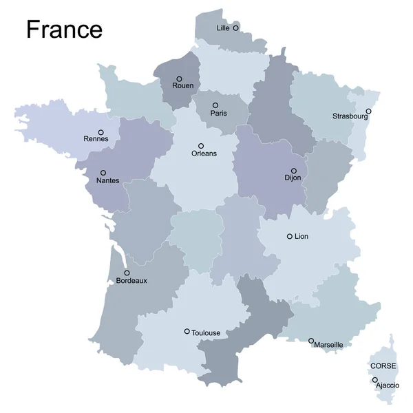
Stock vector France vector map. Editable template with regions, cities, red pins and blue surface on white background.

Published: Dec.11, 2018 14:17:53
Author: molokowall
Views: 143
Downloads: 3
File type: vector / eps
File size: 1.39 MB
Orginal size: 4000 x 4000 px
Available sizes:
Level: bronze
Similar stock vectors


France Map With Location Pointer Marks. Infographic Vector Template, Isolated On White Background.
4000 × 4000