Home
Images
Vectors
Videos
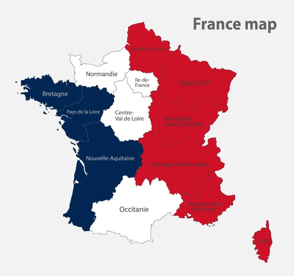
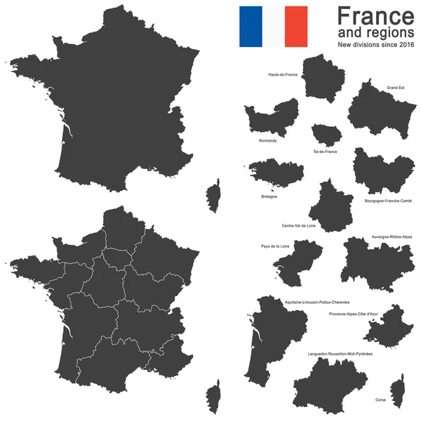
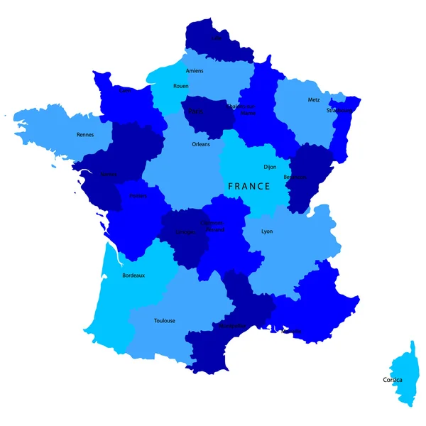
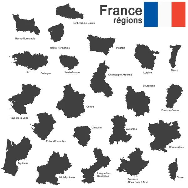
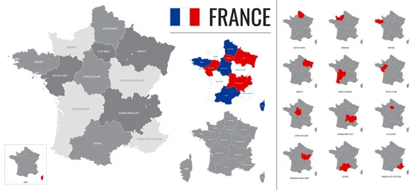
Stock vector Detailed vector map of regions of France with flag
Published:
Nov.27, 2020 08:06:44
Author:
martinova4
Views:
10
Downloads:
0
File type:
vector
/
eps
File size:
10.24 MB
Orginal size:
8268
x
3792
px
Available sizes:
S
(500 x 229)
M
(1000 x 459)
L
(2000 x 917)
XL
(8268 x 3792)
VECT
(8268 x 3792)
EL0
(8268 x 3792)
Level:
beginner
Download Vector
Vector topics:
Vector
Background
Travel
Border
Flag
Icon
City
Contour
France
Capital
Globe
Country
Map
Cartography
Geography
Area
Mediterranean
Centre
Political
Administrative
Europa
Paris
Region
Atlas
Bretagne
Metropolitan
2016
Marseille
Cannes
Lyon
Normandie
Aquitaine
Corse
Departments
Mayotte
Guyane
North Sea
Pays De La Loire
Ile De France
English Channel
Provence Alpes Cote Dazur
Centre Val De Loire
Auvergne Rhone Alpes
Grand Est
Occitanie
Nouvelle Aquitaine
Bourgogne Franche Comte
Oversea Territorie
Nauts De France
Similar stock vectors
Map Of The France In The Colors Of The Flag With Administrative Divisions Blank
4258 × 4000
Map Of The France In The Colors Of The Flag With Administrative Divisions Vector
4258 × 4000
Italy Map - Vector Infographic Set. Vector Illustration
8659 × 5250
Climate Pattern Map Of France
5255 × 3045
France Map Countries
4520 × 4520
Country France And Regions Since 2016
5079 × 5079
France
4520 × 4520
Country France Silhouette
5079 × 5079