Home
Images
Vectors
Videos
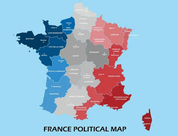
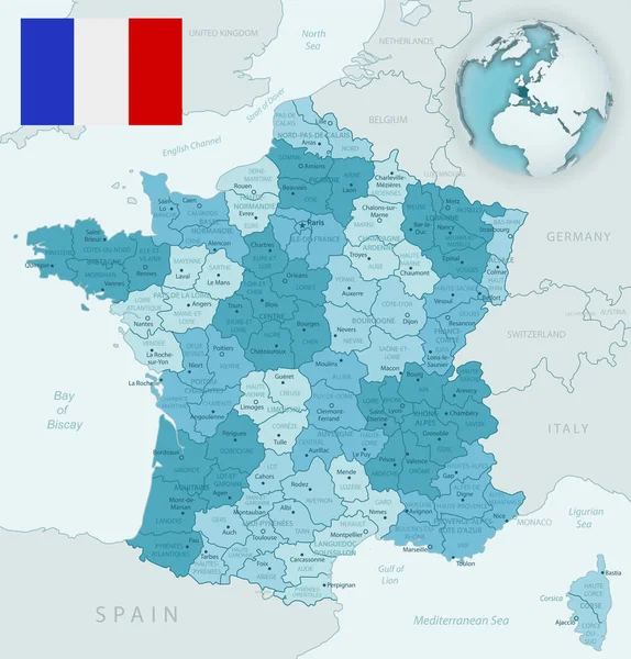
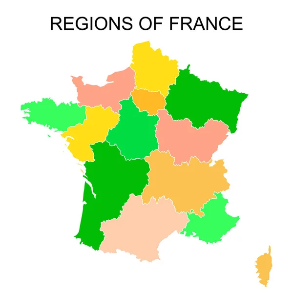
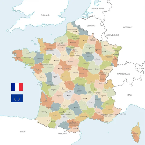
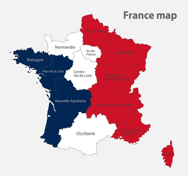
Stock vector Map of the France in the colors of the flag with administrative divisions vector
Published:
May.19, 2020 09:14:23
Author:
Mondi.h
Views:
11
Downloads:
0
File type:
vector
/
eps
File size:
0.89 MB
Orginal size:
4258
x
4000
px
Available sizes:
S
(500 x 470)
M
(1000 x 939)
L
(2000 x 1879)
XL
(4258 x 4000)
VECT
(4258 x 4000)
EL0
(4258 x 4000)
Level:
bronze
Download Vector
Vector topics:
Colors
Vector
Background
Object
Illustration
Design
Paper
Isolated
Sign
Travel
Texture
European
French
Silhouette
Card
Flag
Text
Wallpaper
Earth
World
France
Template
Europe
Individual
Provence
Name
Outline
Country
Map
Cartography
Geography
Continent
State
Separate
Poster
Island
Political
Destination
Region
Atlas
Bretagne
Normandie
Gallic
Corse
European Union
French Republic
France Flag
Vector Map
France Map
Administrative Division
Similar stock vectors
Map Of The France In The Colors Of The Flag With Administrative Divisions Blank
4258 × 4000
China Political Map Divide By State Colorful Outline Simplicity Style.
5069 × 3889
France Regions Map Vector
5200 × 5200
Blue-green Detailed Map Of France And Administrative Divisions With Country Flag And Location On The Globe.
5248 × 5480
Black Outlines Map Of France With Names On White Background
4167 × 4167
Colorful Outlines Map Of France With Names On White Background
4167 × 4167
Vector Map Of France With Administrative Borders, City And Region Names And International Bordering Countries In Soft Colors Palette
6000 × 5999
Country France And Regions Since 2016
5079 × 5079