Home
Images
Vectors
Videos
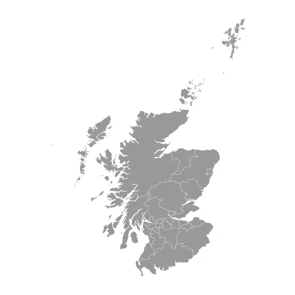
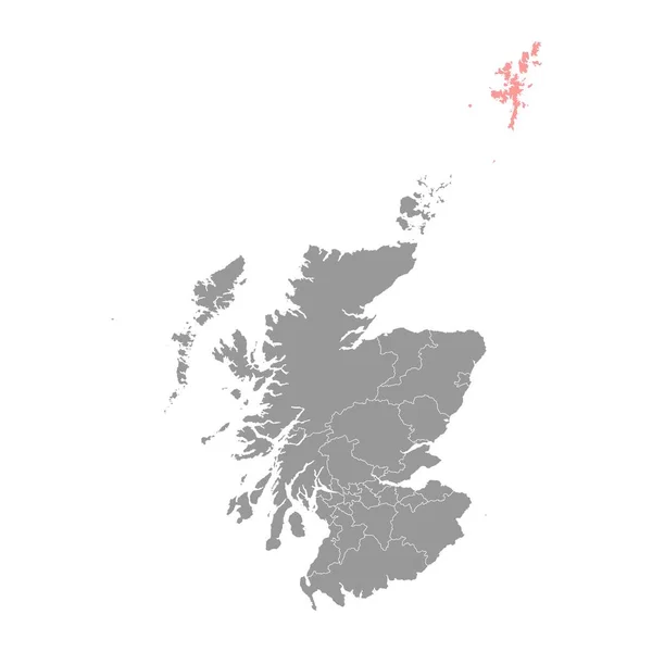
Stock vector Dundee City map, council area of Scotland. Vector illustration.
Published:
Jun.13, 2023 09:17:22
Author:
majborodinruslan1990.icloud.com
Views:
0
Downloads:
0
File type:
vector
/
eps
File size:
7.99 MB
Orginal size:
8334
x
8334
px
Available sizes:
S
(500 x 500)
M
(1000 x 1000)
L
(2000 x 2000)
XL
(8334 x 8334)
VECT
(8334 x 8334)
EL0
(8334 x 8334)
Level:
beginner
Download Vector
Vector topics:
Vector
Graphic
Illustration
Design
Isolated
Sign
Texture
Line
Silhouette
Border
Banner
Symbol
Icon
Contour
Simple
Drawing
Template
Detailed
Capital
Europe
Outline
Country
District
Map
Cartography
Geography
Area
National
Uk
State
Chart
Topography
Boundary
Political
Administrative
Region
Division
Federal
Territory
Atlas
Province
Scotland
County
Mapping
Canton
Dundee
Cut Out
Similar stock vectors
Scotland Grey Map With Council Areas. Vector Illustration.
8334 × 8334
Shetland Islands Map, Council Area Of Scotland. Vector Illustration.
8334 × 8334
Black Location Map Of Scottish Council Area Of Inverclyde Within Grey Map Of Scotland
3600 × 4800
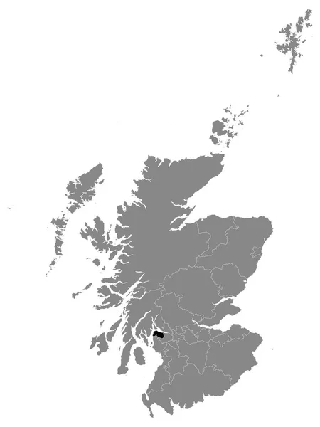
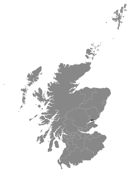
Black Location Map Of Scottish Council Area Of City Of Dundee Within Grey Map Of Scotland
3600 × 4800
Map Of Scotland
4000 × 5000
Outer Hebrides Map, Council Area Of Scotland. Vector Illustration.
8334 × 8334
Black Location Map Of Scottish Council Area Of Shetland Islands Within Grey Map Of Scotland
3600 × 4800
Gray Flat Map Of Council Areas Of Scotland
3600 × 4800