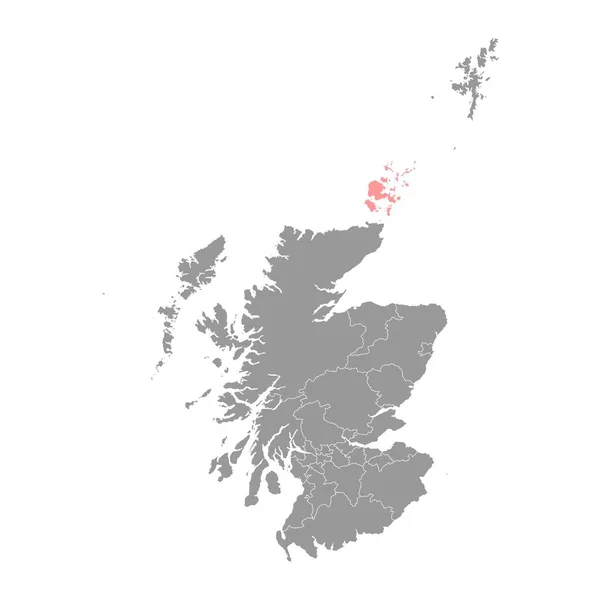
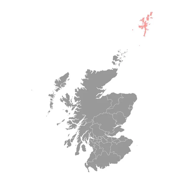
Stock vector Shetland Islands map, council area of Scotland. Vector illustration.
Published: Jun.13, 2023 09:17:20
Author: majborodinruslan1990.icloud.com
Views: 0
Downloads: 0
File type: vector / eps
File size: 7.99 MB
Orginal size: 8334 x 8334 px
Available sizes:
Level: beginner