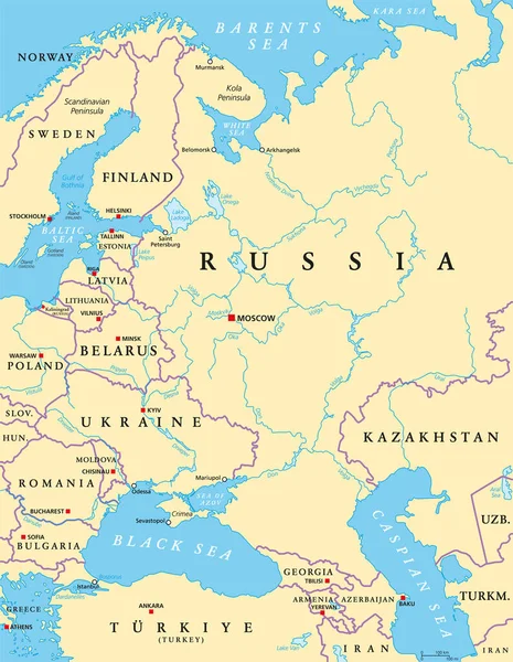
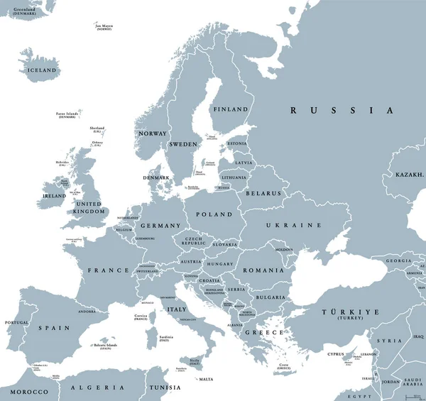
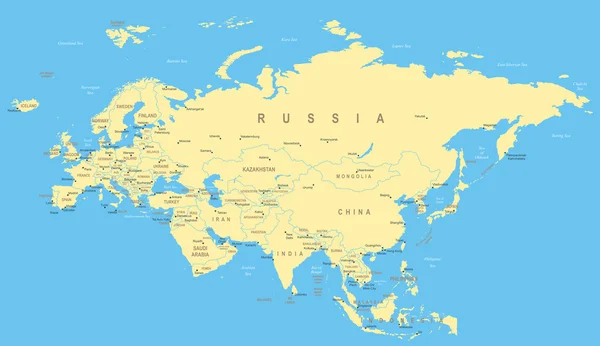
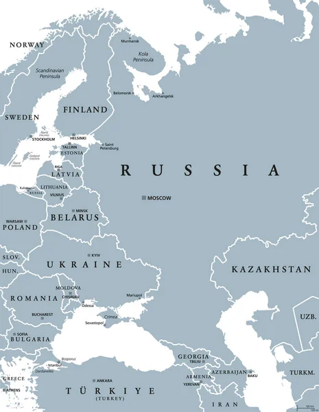
Stock vector Eastern Europe and Western Asia, gray political map, with capitals and borders. With the Black Sea, Caspian Sea, European Russia, and with a part of Central Asia. Illustration on white background.
Published: Jun.26, 2022 16:08:33
Author: Furian
Views: 28
Downloads: 0
File type: vector / eps
File size: 3.05 MB
Orginal size: 6000 x 7735 px
Available sizes:
Level: silver