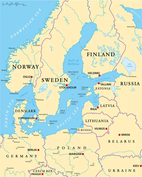
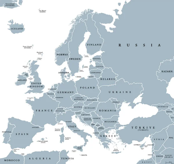
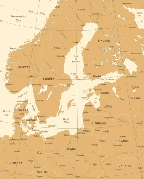
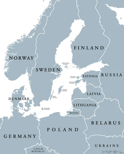
Stock vector Baltic Sea area countries political map
Published: Oct.19, 2016 13:07:33
Author: Furian
Views: 493
Downloads: 10
File type: vector / eps
File size: 2.79 MB
Orginal size: 7264 x 8999 px
Available sizes:
Level: silver