Home
Images
Vectors
Videos
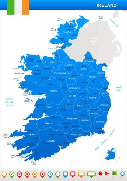
Stock vector Editable template of map of Ireland with marks. Ireland on world map and on Europe map.
Published:
May.06, 2020 12:56:43
Author:
molokowall
Views:
6
Downloads:
0
File type:
vector
/
eps
File size:
5.83 MB
Orginal size:
4000
x
5200
px
Available sizes:
S
(385 x 500)
M
(769 x 1000)
L
(1538 x 2000)
XL
(4000 x 5200)
VECT
(4000 x 5200)
EL0
(4000 x 5200)
Level:
bronze
Download Vector
Vector topics:
Color
Vector
Background
Set
Travel
Border
City
Communication
Connect
Information
Earth
World
Template
Capital
Europe
Name
Pointer
Country
Map
Cartography
Geography
National
Continent
Ireland
State
Political
Region
Territory
Atlas
Marks
Infographic
Similar stock vectors
Ireland - Map, Flag And Navigation Icons - Detailed Vector Illustration
5500 × 7813
Ireland Regions Map With Editable Stroke Vector Illustration
5200 × 5200
Ireland - Map And Flag - Detailed Vector Illustration
5500 × 6851
Ireland - Map And Flag - Detailed Vector Illustration
5500 × 6851
Ireland Administrative Blue-green Map With Country Flag And Location On A Globe. Vector Illustration
5269 × 6718
Blue-green Detailed Map Of Ireland Administrative Divisions With Country Flag And Location On The Globe. Vector Illustration
5206 × 6494
Ireland Map. Vector Image Of A Global Map In The Form Of Regions Of Ireland Regions. Country Flag.
8000 × 4500
Irland Map, Colorful Map In Vector
4535 × 5026