Home
Images
Vectors
Videos
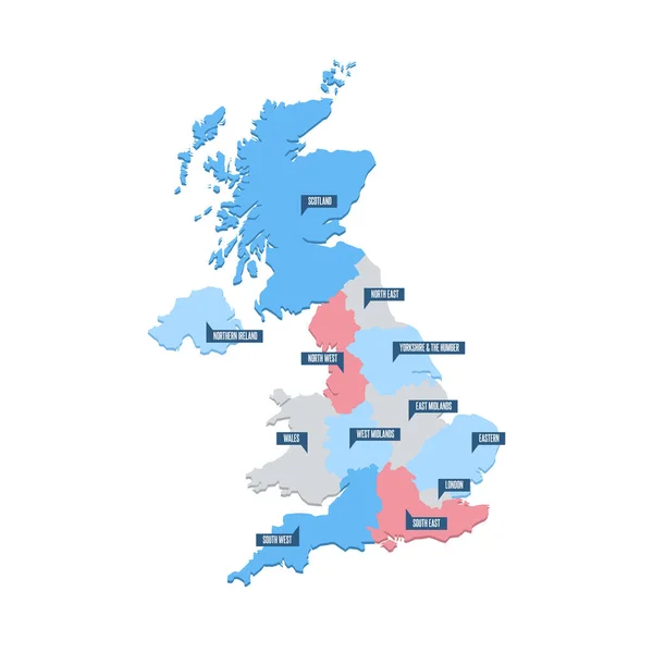
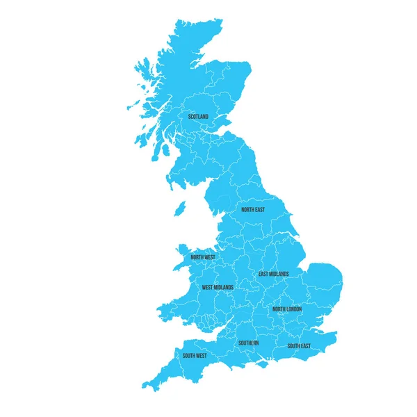
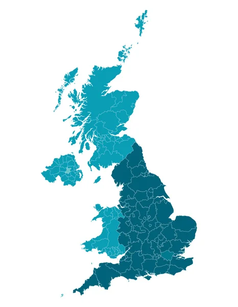
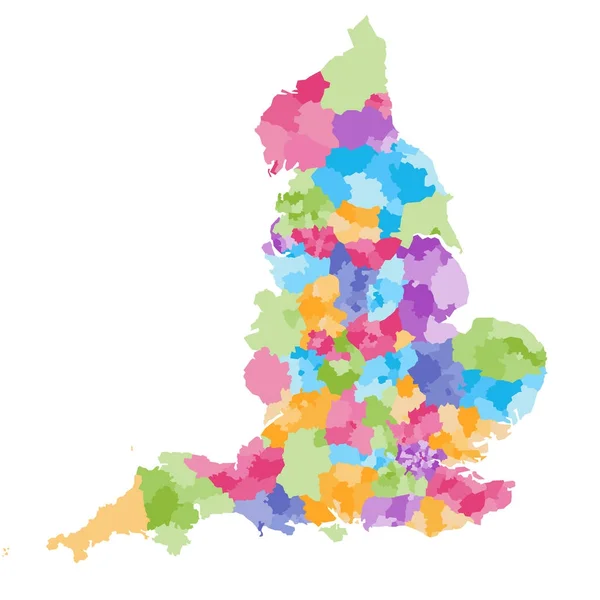
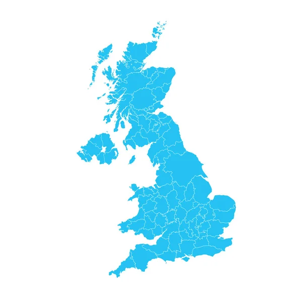
Stock vector England administrative divisions map. Metropolitan and non-metropolitan counties and unitary authorities. Blue vector map with labels.
Published:
Apr.12, 2023 19:04:41
Author:
pyty
Views:
3
Downloads:
1
File type:
vector
/
eps
File size:
0.94 MB
Orginal size:
8000
x
8000
px
Available sizes:
S
(500 x 500)
M
(1000 x 1000)
L
(2000 x 2000)
XL
(8000 x 8000)
VECT
(8000 x 8000)
EL0
(8000 x 8000)
Level:
silver
Download Vector
Vector topics:
Blue
Vector
Colorful
Label
Border
City
Name
Country
District
Map
Cartography
Geography
Land
Uk
State
Boundary
Island
Authority
Politic
Political
Administrative
United
Kingdom
Britain
London
Region
Division
English
British
Non
Administration
England
Yorkshire
Metropolitan
County
Staffordshire
Liverpool
Kent
Hampshire
Cheshire
Shire
Devon
Somerset
Sussex
Birmingham
Counties
Cambridgeshire
Unitary
Greater London
Similar stock vectors
United Kingdom UK Regions Map Vector
5200 × 5200
United Kingdom. Great Britan Map. Vector Map Isolated On White Background.
6000 × 6000
Map Of United Kingdom
6000 × 7714
England Ceremonial Counties And Their Districts Vector Map. Each County Distinctions Between Each Other By Different Color Palette
7292 × 7292
A Map Of Britain
3500 × 4582
National Flag, Map In Flat Modern Vector Illustration Style
3333 × 3333
Abstract Country Map
5315 × 5315
Map Of The United Kingdom With County Regions
6250 × 6250