Home
Images
Vectors
Videos
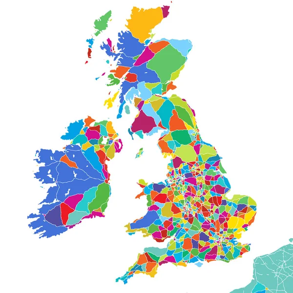
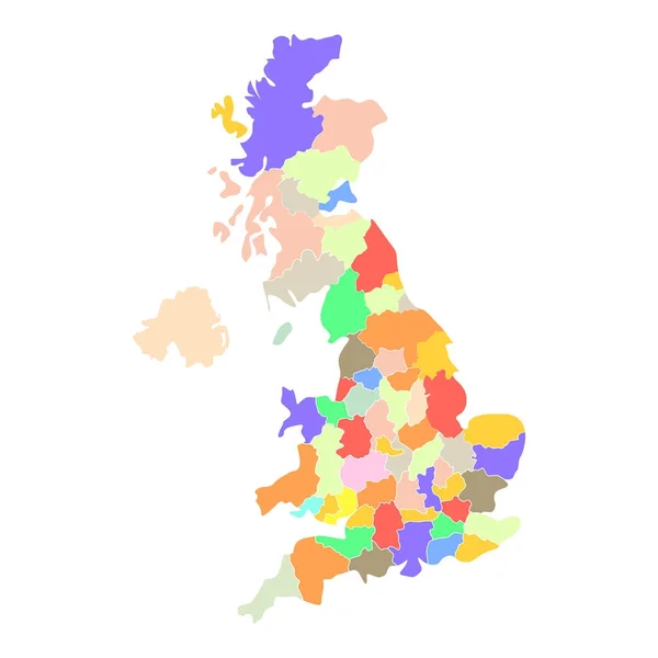
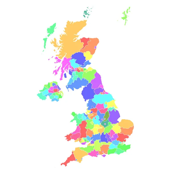
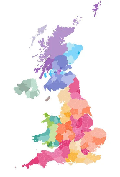
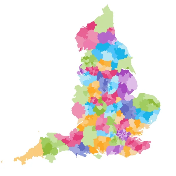
Stock vector England ceremonial counties and their districts vector map. Each county distinctions between each other by different color palette
Published:
Nov.14, 2017 10:24:51
Author:
Jktu_21
Views:
205
Downloads:
2
File type:
vector
/
eps
File size:
5.73 MB
Orginal size:
7292
x
7292
px
Available sizes:
S
(500 x 500)
M
(1000 x 1000)
L
(2000 x 2000)
XL
(7292 x 7292)
VECT
(7292 x 7292)
EL0
(7292 x 7292)
Level:
silver
Download Vector
Vector topics:
Vector
Border
Buttons
Navigation
Map
Geography
Ceremonial
Administrative
Region
England
Yorkshire
Merseyside
Metropolitan
County
Divisions
Staffordshire
Derbyshire
Gloucestershire
Dorset
Berkshire
Kent
Hampshire
Isolted
Wiltshire
Cheshire
Lancashire
Essex
Norfolk
Devon
Suffolk
Surrey
Somerset
Oxfordshire
Cambridgeshire
Buckinghamshire
Hertfordshire
Durham
United Kingdom
Nottinghamshire
City Of London
Leicestershire
East Sussex
West Midlands
West Sussex
Greater London
Tyne And Wear
South East England
Greater Manchester
South Yorkshire
Disctricts
Similar stock vectors
Great Britain Colorful Vector Map
5334 × 5334
Abstract Country Map
5315 × 5315
England Administrative Divisions Map. Metropolitan And Non-metropolitan Counties And Unitary Authorities. Blue Vector Map With Labels.
8000 × 8000
Vector Blank Map Of UK With Administrative Divisions. Editable And Clearly Labeled Layers.
4000 × 4800
United Kingdom Silhouette Pixelated Pattern Map Illustration
4000 × 4000
England Map Composition Of Pixels
3625 × 4537
United Kingdom Map Colorful Country Icon
4521 × 4521
Vector Map Of United Kingdom Administrative Divisions Colored By Countries And Regions. Districts And Counties Map Of England, Wales, Scotland And Northern Ireland
5656 × 8333