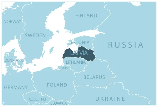
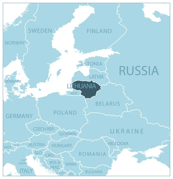
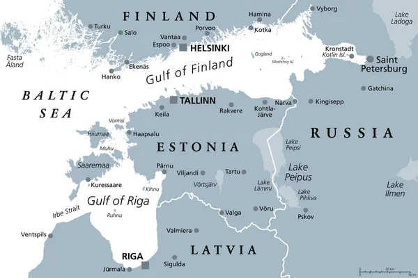
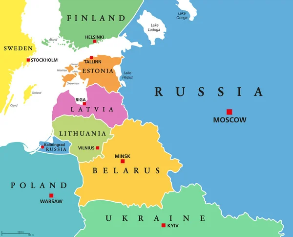
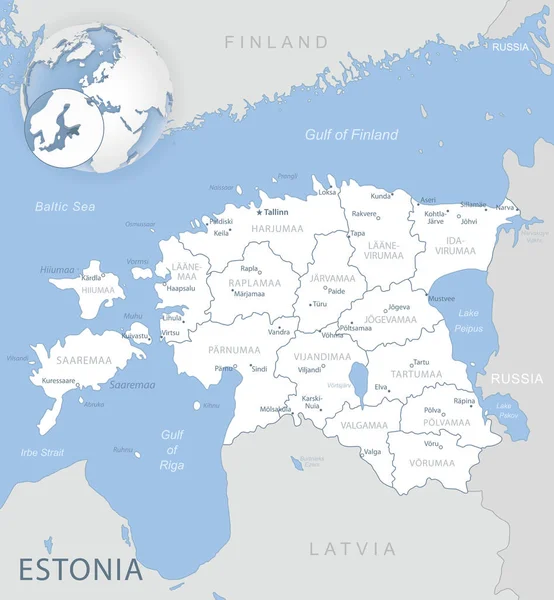
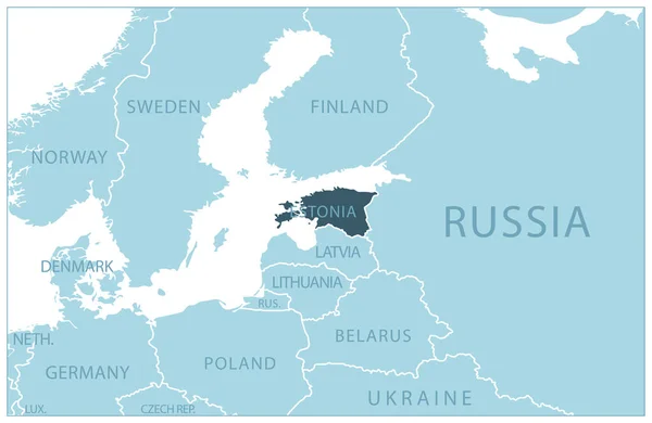
Stock vector Estonia - blue map with neighboring countries and names. Vector illustration
Published: Jun.30, 2023 17:11:27
Author: gt29
Views: 7
Downloads: 0
File type: vector / eps
File size: 0.54 MB
Orginal size: 7003 x 4560 px
Available sizes:
Level: bronze