photo free
Home Images Vectors Videos

Stock vector Lithuania - blue map with neighboring countries and names. Vector illustration
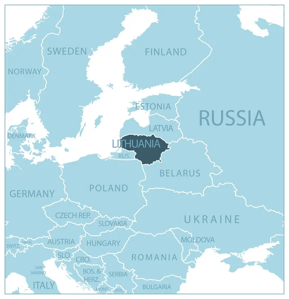
Stock vector Lithuania - blue map with neighboring countries and names. Vector illustration
Published: Jun.30, 2023 17:11:33
Author: gt29
Views: 7
Downloads: 0
File type: vector / eps
File size: 0.7 MB
Orginal size: 5553 x 5742 px
Available sizes:
S
(484 x 500)
M
(967 x 1000)
L
(1934 x 2000)
XL
(5553 x 5742)
VECT
(5553 x 5742)
EL0
(5553 x 5742)
Level: bronze
Download Vector
Vector topics:

Similar stock vectors

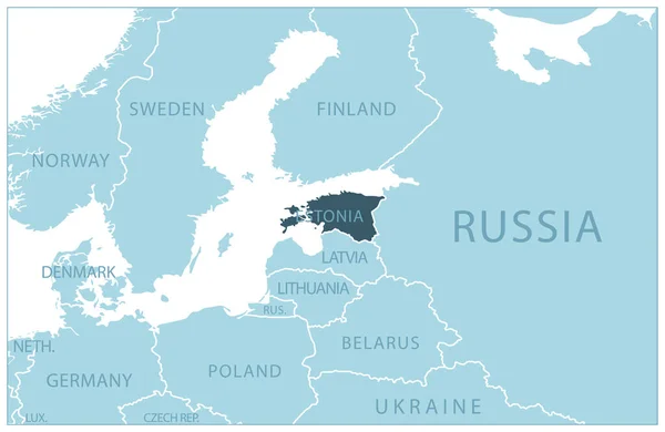
stock vector Estonia - blue map with neighboring countries and names. Vector illustration

Estonia - Blue Map With Neighboring Countries And Names. Vector Illustration

7003 × 4560
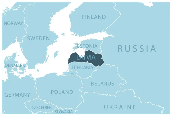
stock vector Latvia - blue map with neighboring countries and names. Vector illustration

Latvia - Blue Map With Neighboring Countries And Names. Vector Illustration

6864 × 4666
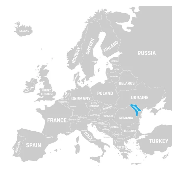
stock vector Moldova marked by blue in grey political map of Europe. Vector illustration

Moldova Marked By Blue In Grey Political Map Of Europe. Vector Illustration

6000 × 6000
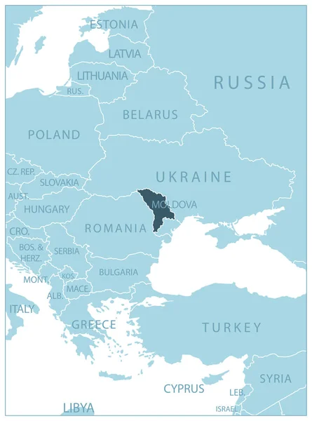
stock vector Moldova - blue map with neighboring countries and names. Vector illustration

Moldova - Blue Map With Neighboring Countries And Names. Vector Illustration

4894 × 6596
stock vector Baltic countries political map

Baltic Countries Political Map

7310 × 8777
stock vector Ukraine map with neighboring states and names, gray on a white background vector

Ukraine Map With Neighboring States And Names, Gray On A White Background Vector

5807 × 3200
stock vector Baltic States, colored countries, political map. From Finland to Estonia, Latvia and Lithuania to Poland, and from the Russian exclave Kaliningrad Oblast, to Belarus and the European Part of Russia.

Baltic States, Colored Countries, Political Map. From Finland To Estonia, Latvia And Lithuania To Poland, And From The Russian Exclave Kaliningrad Oblast, To Belarus And The European Part Of Russia.

7432 × 6000
stock vector Hungary marked by blue in grey political map of Europe. Vector illustration

Hungary Marked By Blue In Grey Political Map Of Europe. Vector Illustration

6000 × 6000