Home
Images
Vectors
Videos
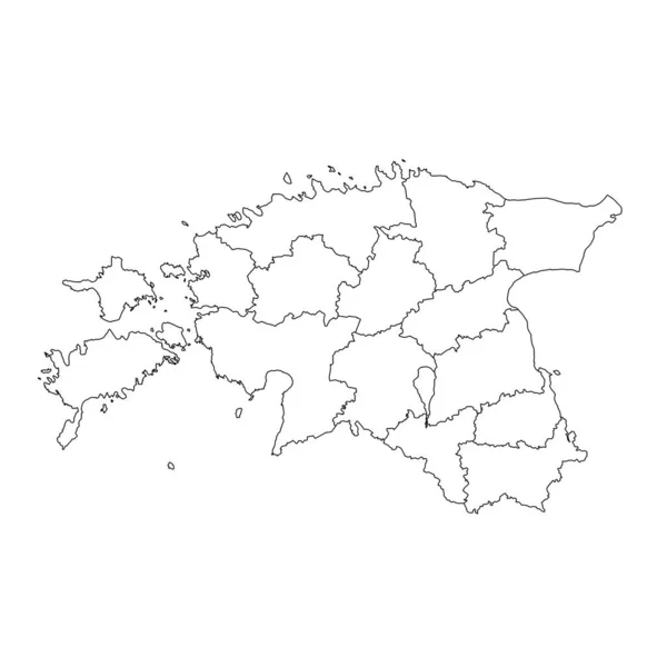
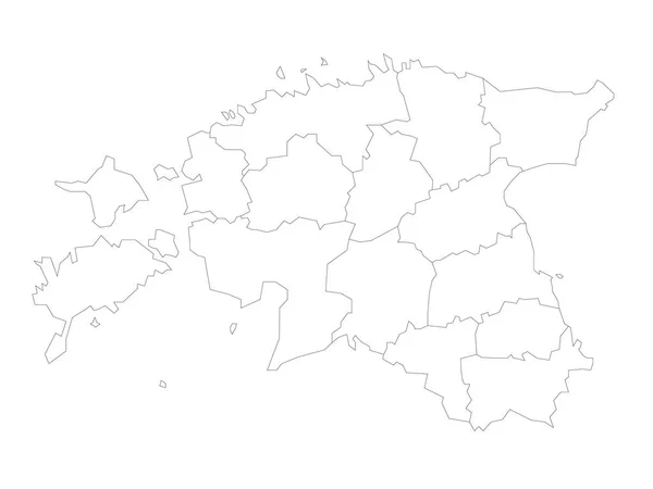
Stock vector Estonia - map of counties
Published:
Nov.03, 2020 14:31:33
Author:
pyty
Views:
3
Downloads:
0
File type:
vector
/
eps
File size:
0.98 MB
Orginal size:
6000
x
4500
px
Available sizes:
S
(500 x 375)
M
(1000 x 750)
L
(2000 x 1500)
XL
(6000 x 4500)
VECT
(6000 x 4500)
EL0
(6000 x 4500)
Level:
silver
Download Vector
Vector topics:
White
Vector
Design
Travel
Abstract
Black
Line
Border
Blank
Contour
Plain
Simple
Outline
Country
Map
Cartography
Geography
State
Thin
Boundary
Political
Administrative
Geographic
Estonia
Tartu
Department
Region
Division
Territory
Estonian
Province
Nation
Subdivision
County
Simplified
Saaremaa
Counties
Kontur
Infographics
Harju
Estonia Map
Rapla
Maakond
Jogeva
Jarva
Laeaene
Laeaenema
Map Of Esonia
Similar stock vectors
Accurate Map Of Paraiba
5000 × 4000
Azerbaijan Map With Landmarks Of The Regions. Flat Illustrated
4700 × 4700
Belgium Map In Grey Isolated On A White Background
4700 × 4700
Estonia - Map Of Counties
6000 × 4500
Estonia Map With Administrative Subdivisions. Vector Illustration.
8334 × 8334
Belgium Map With Provinces. Vector Illustration.
8334 × 8334
Highly Detailed Colombia Map With Borders Isolated On Background
8334 × 8334
Isolated Vector Illustration. Black On White Background. EPS 10 Illustration
10000 × 10000