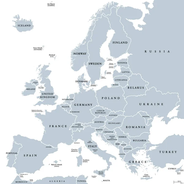
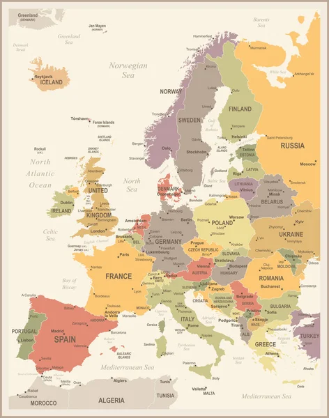
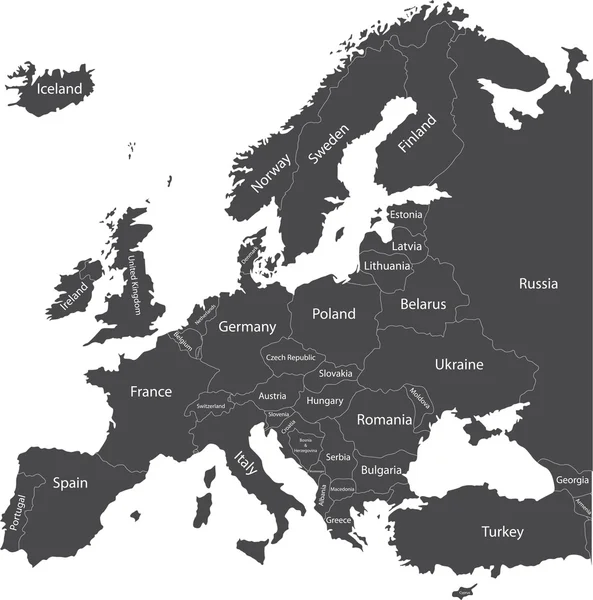
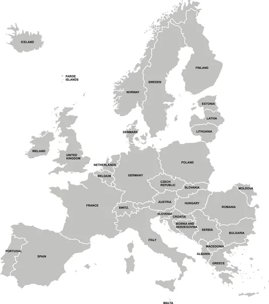
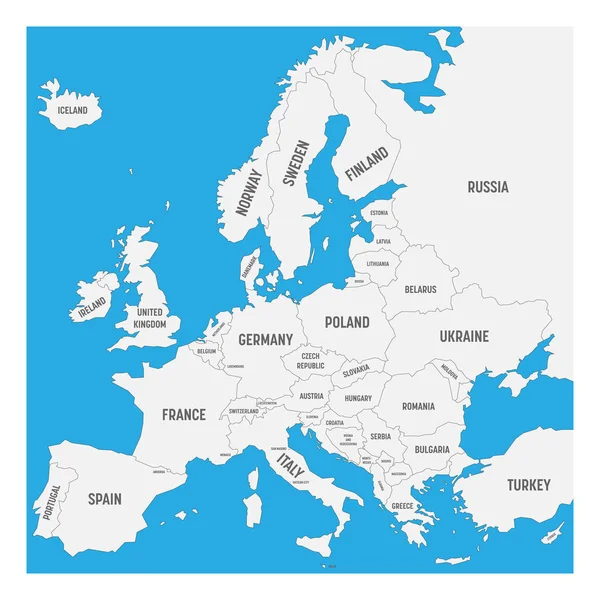
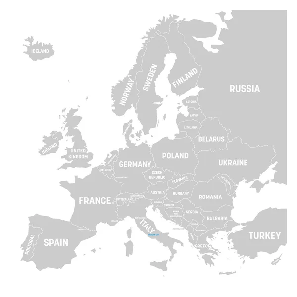
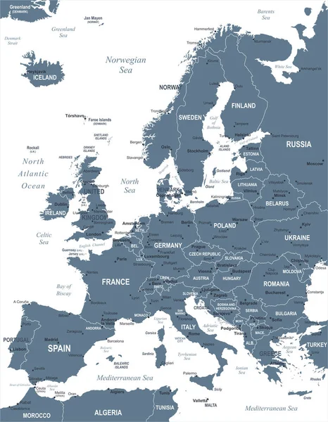
Stock vector Europe Map - Vector Illustration
Published: Sep.04, 2017 11:28:15
Author: dikobrazik
Views: 139
Downloads: 2
File type: vector / eps
File size: 4.68 MB
Orginal size: 5500 x 7067 px
Available sizes:
Level: silver