Home
Images
Vectors
Videos
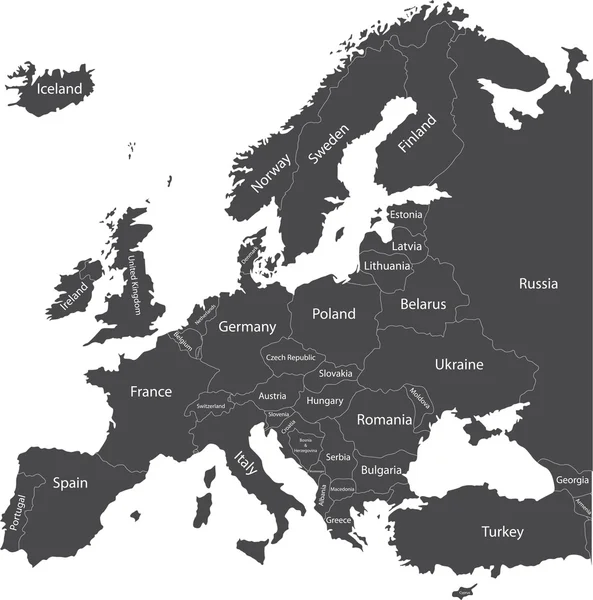
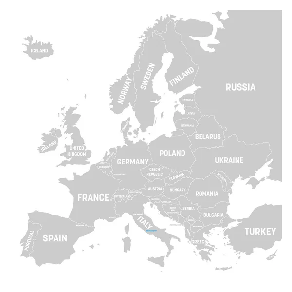
Stock vector Europe, gray political map. Continent and part of Eurasia, located in the Northern Hemisphere, with about 50 sovereign states. Map with borders and English country names. Gray illustration over white.
Published:
Mar.07, 2022 08:36:12
Author:
Furian
Views:
235
Downloads:
4
File type:
vector
/
eps
File size:
4.61 MB
Orginal size:
6000
x
6000
px
Available sizes:
S
(500 x 500)
M
(1000 x 1000)
L
(2000 x 2000)
XL
(6000 x 6000)
VECT
(6000 x 6000)
EL0
(6000 x 6000)
Level:
silver
Download Vector
Vector topics:
White
Vector
Illustration
Shape
Sea
European
Silhouette
Gray
Ukraine
Scandinavia
Northern
Europe
Russia
Eastern
Outline
Country
Map
Cartography
Geography
Area
Continent
Land
Mediterranean
State
Sovereign
Countries
Borders
Political
Baltic
Union
States
English
Boundaries
Atlas
Peninsula
Nation
Aegean
Mapping
Hemisphere
Eurasia
Names
Balkan
Iberian
Landmass
Infographic
White Background
Northern Hemisphere
Political Map
British Isles
Europe Map
Similar stock vectors
Europe Countries Political Map
6000 × 6525
Europe
4949 × 4000
Europe Political Map
7411 × 7489
Europe Map - Vector Illustration
5500 × 7067
3D Europe Map
4000 × 4000
Political Map Of Europe In Gray Color With White Background And
10735 × 7500
Vatican City Marked By Blue In Grey Political Map Of Europe. Vector Illustration
6000 × 6000