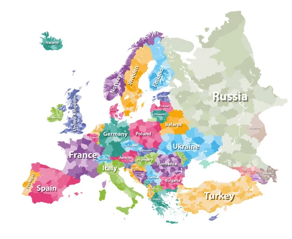
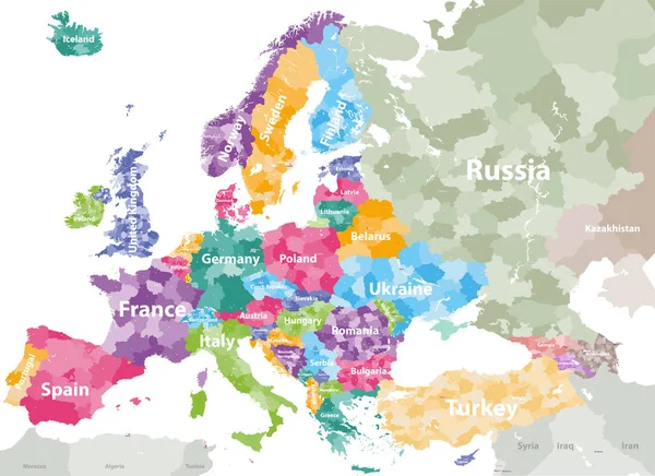
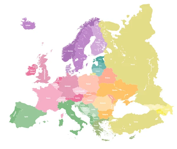
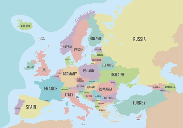
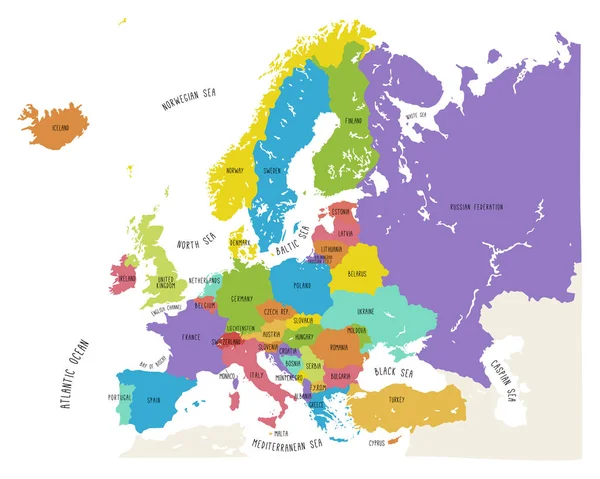
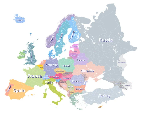
Stock vector Europe vector high detailed political map with regions borders
Published: Nov.17, 2016 15:05:02
Author: Jktu_21
Views: 866
Downloads: 16
File type: vector / eps
File size: 11.61 MB
Orginal size: 7292 x 6038 px
Available sizes:
Level: silver
Similar stock vectors
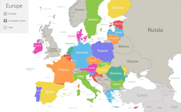
Europe With European Union And Parts Of Asia, Multicolored Map Isolated On White Background Vector
5775 × 3600