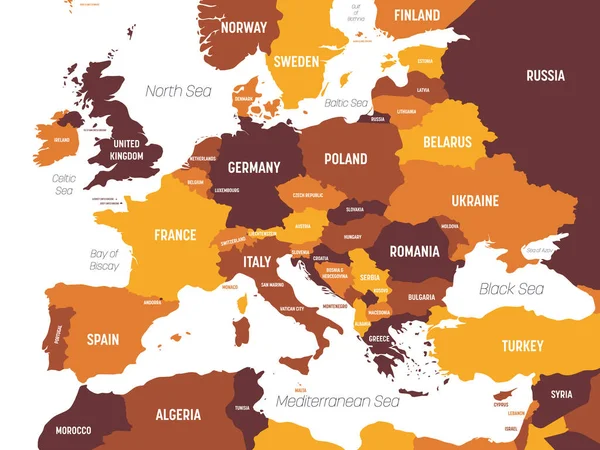
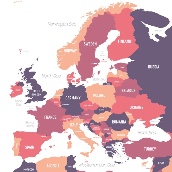
Stock vector Europe map. High detailed political map of european continent with country, ocean and sea names labeling
Published: Aug.07, 2020 09:01:02
Author: pyty
Views: 82
Downloads: 2
File type: vector / eps
File size: 1.7 MB
Orginal size: 6000 x 6000 px
Available sizes:
Level: silver
Similar stock vectors

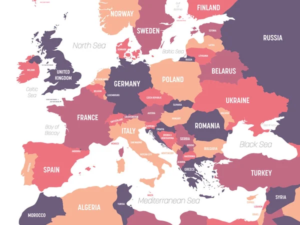
Europe Map. High Detailed Political Map Of European Continent With Country, Ocean And Sea Names Labeling
6000 × 4500