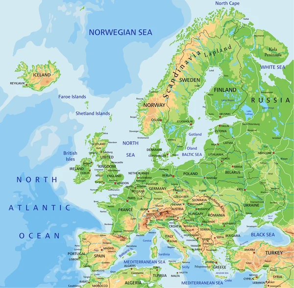
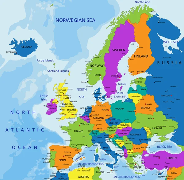
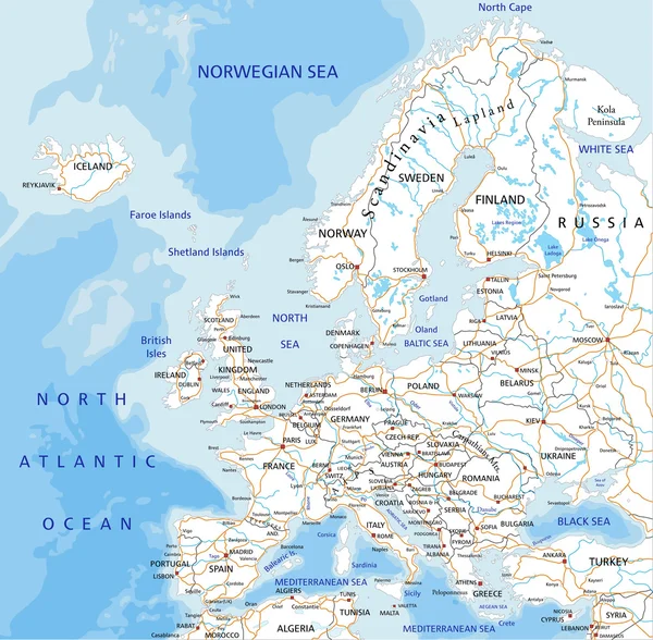
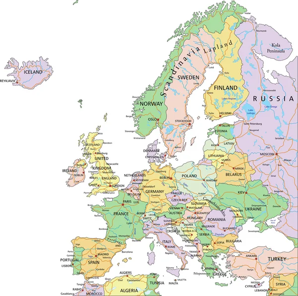
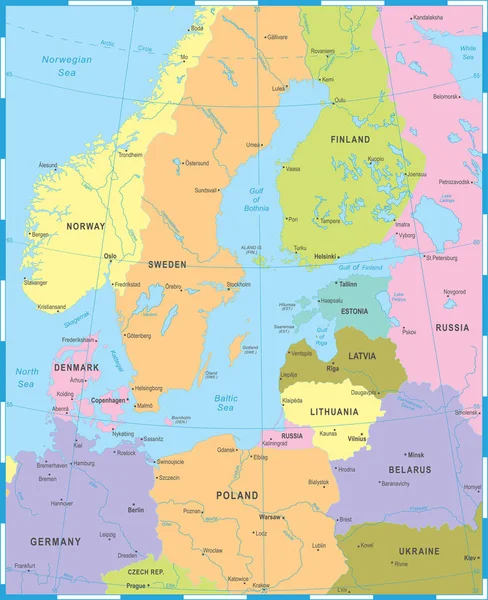
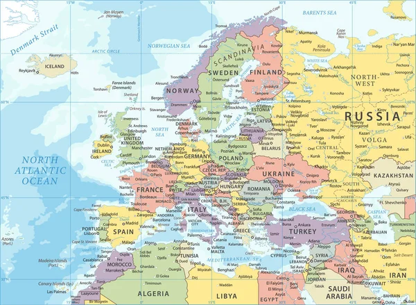
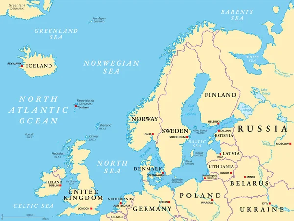
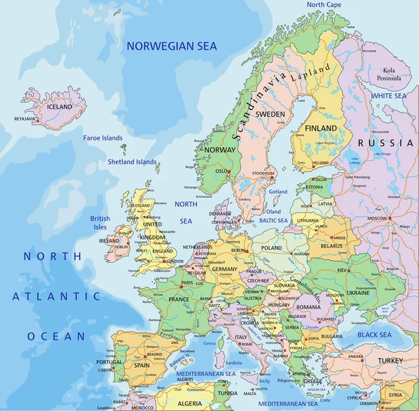
Stock vector Europe political map
Published: Jan.27, 2015 18:46:53
Author: delpieroo
Views: 6651
Downloads: 74
File type: vector / eps
File size: 7.26 MB
Orginal size: 4909 x 4817 px
Available sizes:
Level: bronze