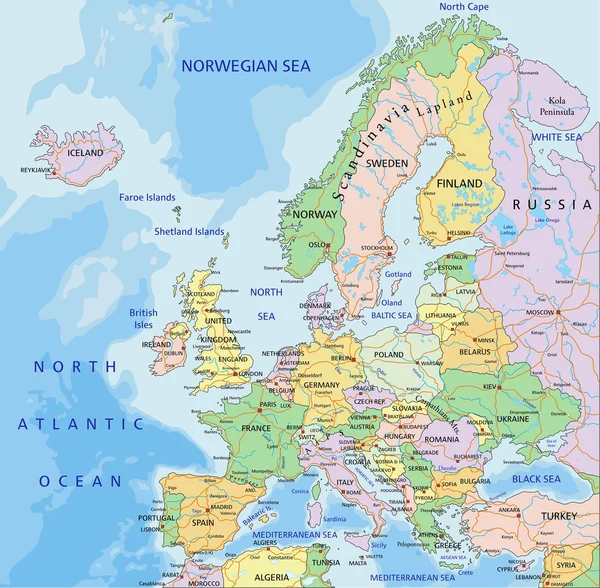
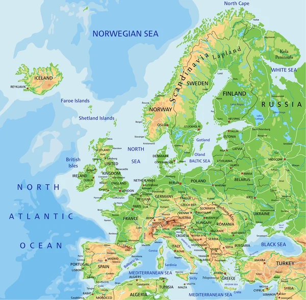
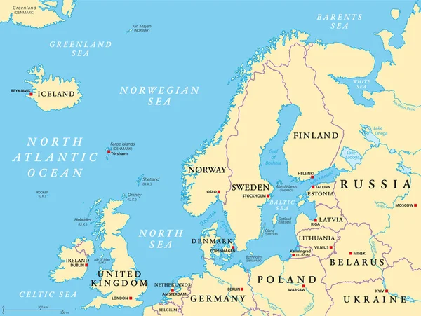
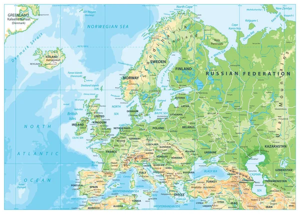
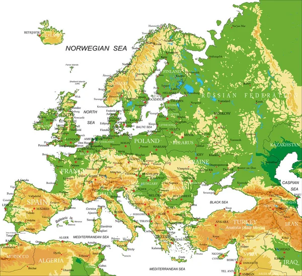
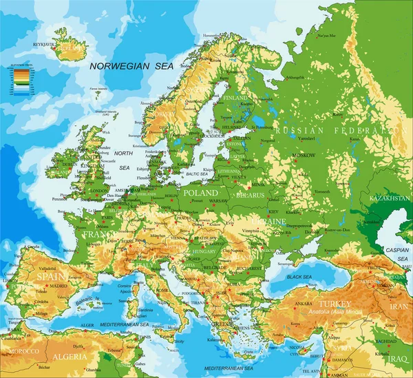
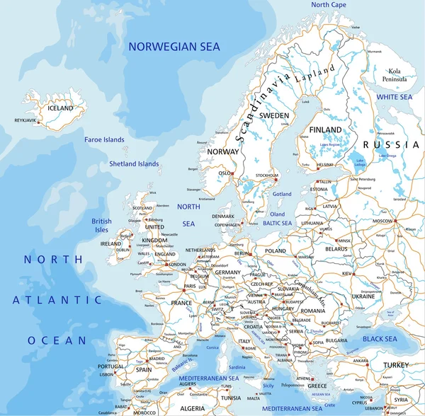
Stock vector Europe road map with labeling.
Published: Jan.28, 2015 07:39:36
Author: delpieroo
Views: 766
Downloads: 12
File type: vector / eps
File size: 7.1 MB
Orginal size: 4909 x 4817 px
Available sizes:
Level: bronze