Home
Images
Vectors
Videos
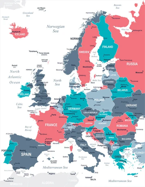
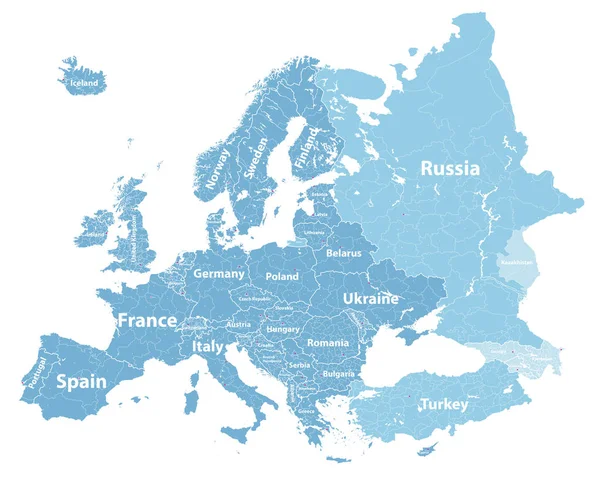
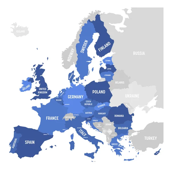
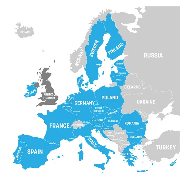
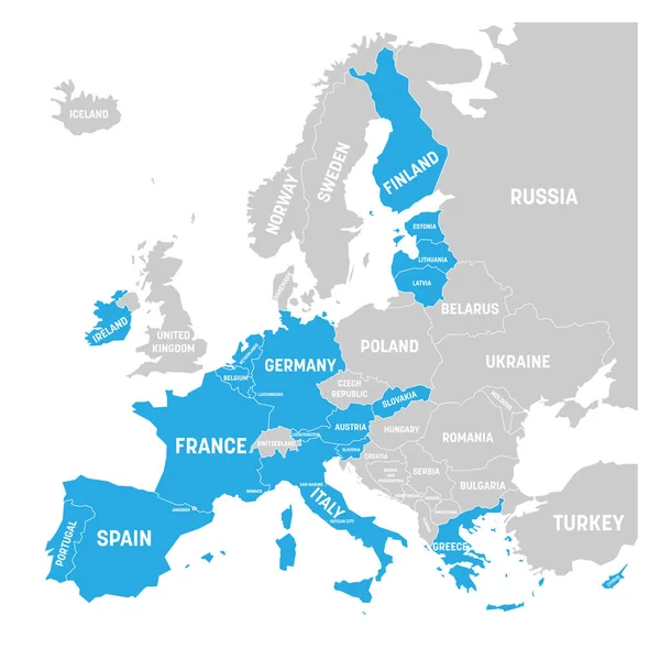
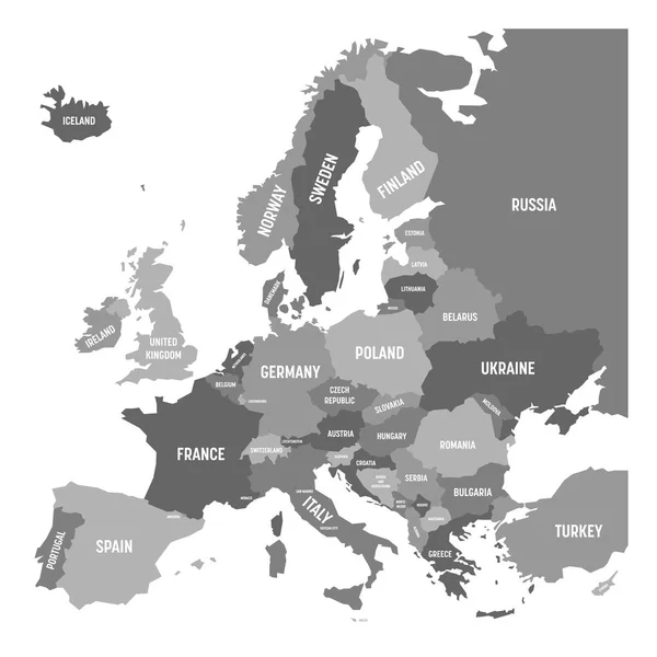
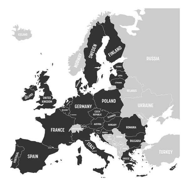
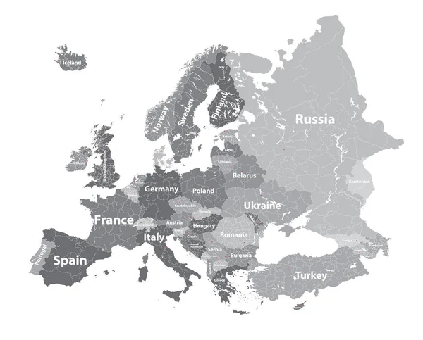
Stock vector Europe vector high detailed political map with regions borders
Published:
Nov.17, 2016 15:05:02
Author:
Jktu_21
Views:
422
Downloads:
30
File type:
vector
/
eps
File size:
14.21 MB
Orginal size:
7292
x
5880
px
Available sizes:
S
(500 x 403)
M
(1000 x 806)
L
(2000 x 1613)
XL
(7292 x 5880)
VECT
(7292 x 5880)
EL0
(7292 x 5880)
Level:
silver
Download Vector
Vector topics:
Vector
European
Italy
France
Netherlands
Switzerland
Sweden
Scandinavia
Europe
Globalization
Map
Geography
Continent
Germany
Ireland
Portugal
Spain
Turkey
Denmark
Finland
Croatia
Poland
Belgium
Norway
Scandinavian
Austria
Iceland
Luxembourg
Balkans
Benelux
European Union
United Kingdom
Bosnia And Herzegovina
EAST EUROPE
Europe Map
European Map
Ireland Map
West Europe
Great Britain Map
Continent Map
Countries Map
Scandinavia Map
Europe Map Vector
Political Map Of Europe
Europe Countries
Iceland Map
Greece Map
Balkan Map
Central Europe Map
High Detaoled Map
Similar stock vectors
Europe Map - Vector Illustration
5500 × 7067
Europe Vector High Detailed Political Map With Regions Borders
7292 × 6000
Vector Map Of EU, European Union.
6000 × 6000
Map Of Europe With Blue Highlighted EU Member States And United Kingdom In Different Color. Vector Illustration. Simplified Map Of European Union
6000 × 6000
Map Of Eurozone. States Using Euro Currency. Grey Vector Map With Blue Highlighted Member Countries
6000 × 6000
Political Map Of Europe Continent In Four Shades Of Grey With White Country Name Labels And Isolated On White Background. Vector Illustration
6000 × 6000
Europe Detailed Map With Name
7076 × 5000
Political Map Of Europe With Dark Grey Highlighted 28 European Union, EU, Member States. Simple Flat Vector Illustration
6000 × 6000