Home
Images
Vectors
Videos
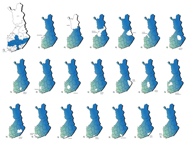
Stock vector Finland provinces maps
Published:
Jul.23, 2013 08:04:26
Author:
lavinia4000
Views:
200
Downloads:
1
File type:
vector
/
eps
File size:
5.09 MB
Orginal size:
6000
x
4636
px
Available sizes:
S
(500 x 386)
M
(1000 x 773)
L
(2000 x 1545)
XL
(6000 x 4636)
VECT
(6000 x 4636)
EL0
(6000 x 4636)
Level:
beginner
Download Vector
Vector topics:
Color
Vector
Computer
Illustration
Design
Shape
Sign
Travel
European
Silhouette
Border
Flag
3d
Symbol
Icon
Shadow
Drawing
Surface
Europe
Country
District
Map
Cartography
Geography
National
State
Boundary
Administrative
Kingdom
Finland
Region
Boundaries
Atlas
Finnish
Scandinavian
Province
Nation
Lapland
Kainuu
Satakunta
Kymenlaakso
Central Ostrobothnia
Eastern Uusima
Northern Ostrobothnia
Northern Savoria
Paijanne Tavastia
Tavastia Proper
North Karelia
Similar stock vectors
Set Of Different Countries Black Maps
5556 × 5556
Europe Countries Maps
6000 × 4636
Set Of Different Countries Black Maps
5556 × 5556
44 Asian Country Maps
5201 × 5886
European Union Countries Maps
6000 × 4636
Netherlands Provinces Maps
6000 × 4636
Bosnia Herzegovina Provinces Maps
6000 × 4636