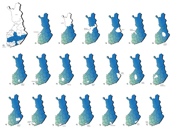
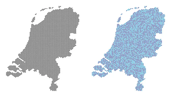
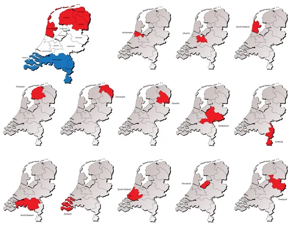
Stock vector Netherlands provinces maps
Published: Aug.05, 2013 14:50:09
Author: lavinia4000
Views: 512
Downloads: 15
File type: vector / eps
File size: 5.62 MB
Orginal size: 6000 x 4636 px
Available sizes:
Level: beginner