Home
Images
Vectors
Videos
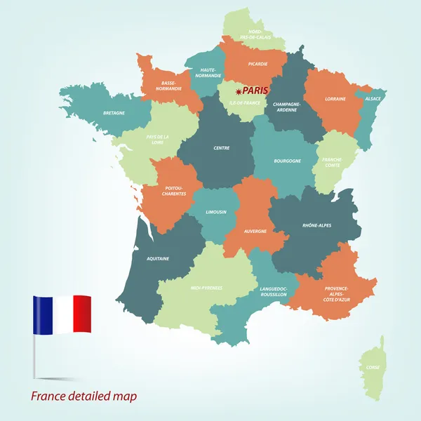
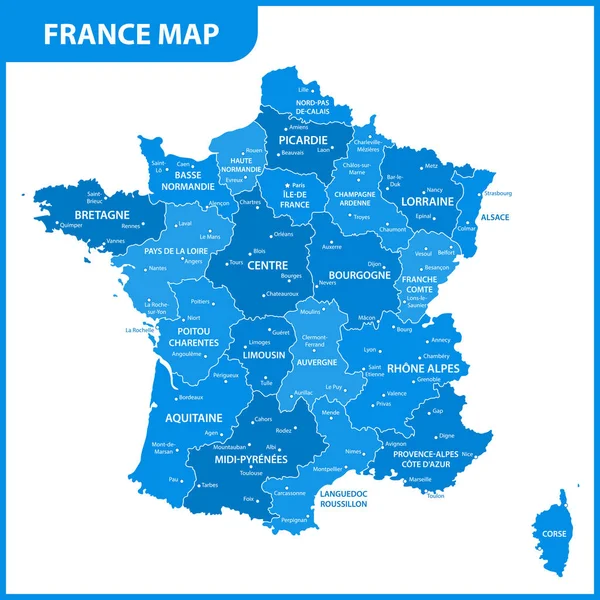
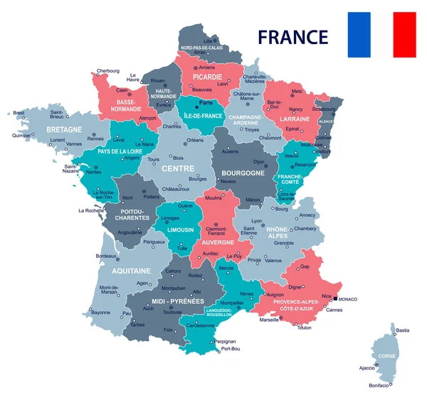
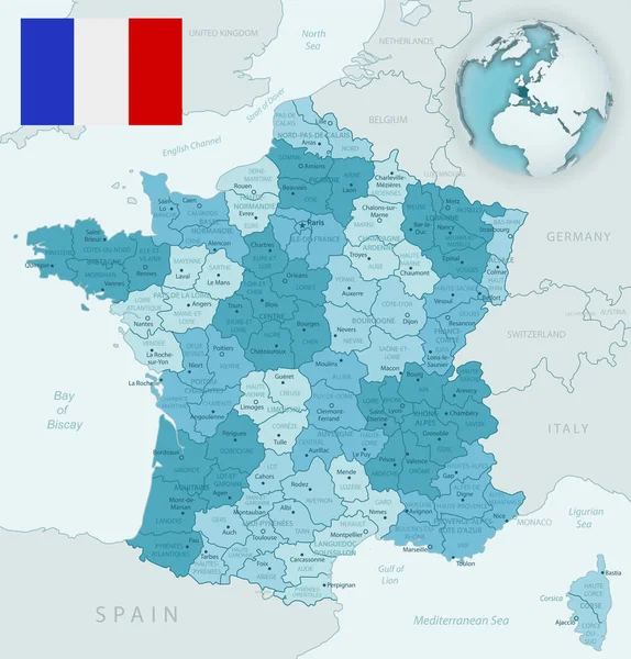
Stock vector France_Map
Published:
Jan.16, 2013 19:42:51
Author:
polesnoy
Views:
861
Downloads:
18
File type:
vector
/
eps
File size:
2.56 MB
Orginal size:
4724
x
4724
px
Available sizes:
S
(500 x 500)
M
(1000 x 1000)
L
(2000 x 2000)
XL
(4724 x 4724)
VECT
(4724 x 4724)
EL0
(4724 x 4724)
Level:
bronze
Download Vector
Vector topics:
Blue
Vector
Background
Illustration
Business
Travel
Abstract
Light
Sea
European
French
Silhouette
Flag
River
Global
With
Wallpaper
Earth
World
France
Detailed
North
Europe
Champagne
Country
Map
Cartography
Geography
Area
National
Continent
Topography
Borders
Island
Of
Union
Kingdom
Paris
Region
Locations
And
Settlement
Burgundy
Atlas
Flagpole
Province
Nation
Geographical
Normandy
Rivers
Similar stock vectors
France_Map
4724 × 4724
France_Map
4724 × 4724
The Detailed Map Of The France With Regions Or States And Cities, Capital
5000 × 5000
Map Of Cities And Roads In France.
4724 × 4724
France - Map And Flag Illustration
5642 × 5500
Country France And Regions Since 2016
5079 × 5079
Blue-green Detailed Map Of France And Administrative Divisions With Country Flag And Location On The Globe.
5248 × 5480
The Detailed Map Of The France With Regions Or States And Cities, Capital
5000 × 5000