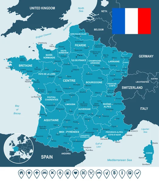
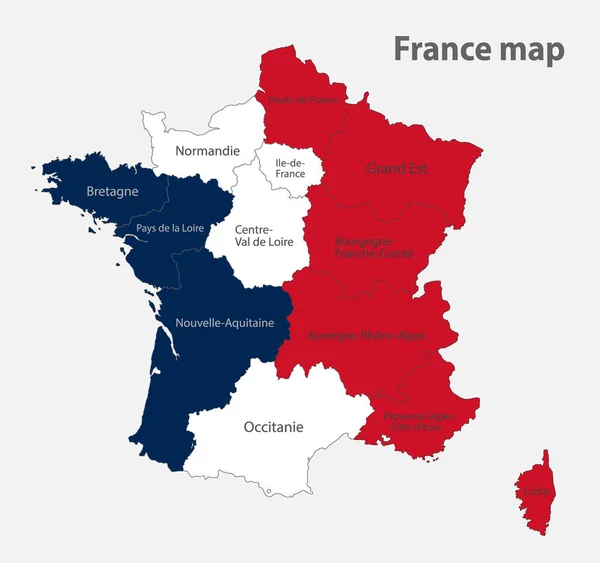
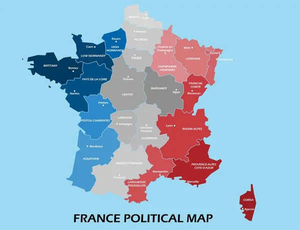
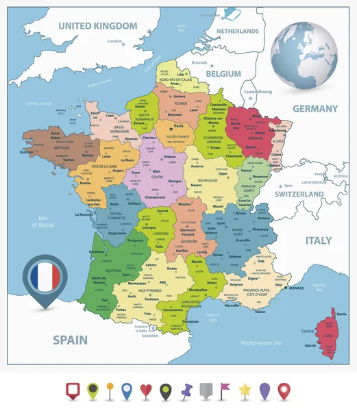
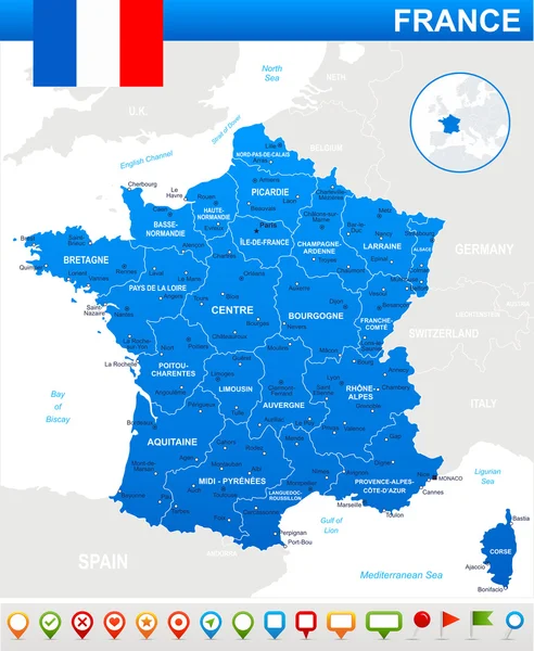
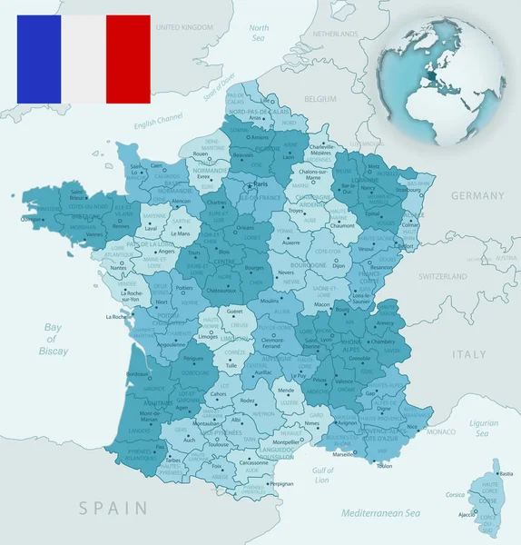
Stock vector Blue-green detailed map of France and administrative divisions with country flag and location on the globe.
Published: Mar.31, 2020 11:16:55
Author: gt29
Views: 12
Downloads: 1
File type: vector / eps
File size: 15.05 MB
Orginal size: 5248 x 5480 px
Available sizes:
Level: bronze