Home
Images
Vectors
Videos
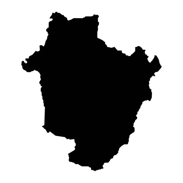
Stock vector France province Picarde vector map silhouette illustration isolated on white background. France region. French province map. North Picardy map. Picard map.
Published:
Apr.19, 2021 08:15:34
Author:
Dovla982
Views:
0
Downloads:
0
File type:
vector
/
eps
File size:
0.22 MB
Orginal size:
4865
x
5124
px
Available sizes:
S
(475 x 500)
M
(949 x 1000)
L
(1899 x 2000)
XL
(4865 x 5124)
VECT
(4865 x 5124)
EL0
(4865 x 5124)
Level:
bronze
Download Vector
Vector topics:
Vector
Background
Illustration
Shape
Sign
Travel
Environment
French
Silhouette
Border
Symbol
Icon
Countryside
Information
Web
France
Europe
Provence
Country
Site
Cartography
National
State
General
Plane
Administrative
Department
Official
Atlas
Orientation
Province
Divisions
Cartographer
Areas
Regions
Picardy
Picardie
Picard
Laon
Amiens
Soissons
Abbeville
Beauvais
France Map
Creil
Picarde Map
Picard Map
Similar stock vectors
Map Of France And Corsica Sign
8334 × 8334
French Republic
4300 × 2800
Map Of France
5000 × 4000
France Map Geography Icon
5315 × 5315
Abstract Drawing Lines In Architectural Art Concept, Minimal Geometrical Shapes.
4000 × 4000
Simple Vector Black Administrative Map Of The German Regional Capital City Of Duisburg, Germany
3721 × 6500
Baltics Capital Country Icon
4096 × 4052
Hajdu Bihar County Map, Administrative District Of Hungary. Vector Illustration.
8334 × 8334