Home
Images
Vectors
Videos
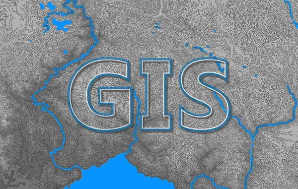
Stock vector Geographic information systems, gis, cartography and mapping. Web mapping. GIS day
Published:
Jan.09, 2019 08:23:27
Author:
NatalyKa7
Views:
30
Downloads:
5
File type:
vector
/
eps
File size:
13.8 MB
Orginal size:
5000
x
3181
px
Available sizes:
S
(500 x 318)
M
(1000 x 636)
L
(2000 x 1272)
XL
(5000 x 3181)
VECT
(5000 x 3181)
EL0
(5000 x 3181)
Level:
beginner
Download Vector
Vector topics:
Vector
Relief
Europe
Raster
Elevation
Cartography
Latitude
Longitude
Asia
Topography
Countries
Projection
Modeling
Coordinates
Contours
Lettering
Hydrology
GIS
World Map
Photogrammetry
Geographic Information Systems
Coordinate Transformation
Mapping Web Mapping
Gis Day
Similar stock vectors
Map Of Europe And Belgium.
4800 × 3600
Romania Area On The Solid Map In The Stereographic Projection - Raw Composition Of Raster Layers With Dark Glowing Outline
2880 × 1620
3d Isometric Map Of Peru-Bolivian Confederation Isolated With Shadow, Former State
4000 × 4000
Map Of Columbia
4200 × 4200
Belarus On Globe
5000 × 3750
3d Isometric Map Of Halland Is A County Of Sweden, Vector Illustration
4000 × 4000
Colombia - Country Shape - 3D Illustration
6000 × 3000
3d Isometric Map Of Kohgiluyeh And Boyer Ahmad Is A Province Of Iran, Vector Illustration
4000 × 4000