
Stock image Geographic Information Systems
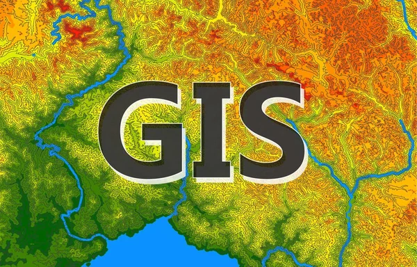
Geographic Information Systems, Gis, Cartography And Mapping. Web Mapping. GIS Day
Vector, 12.44MB, 7812 × 5000 eps
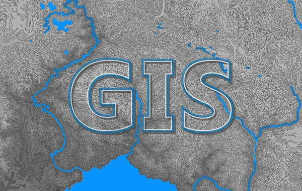
Geographic Information Systems, Gis, Cartography And Mapping. Web Mapping. GIS Day
Vector, 13.8MB, 5000 × 3181 eps
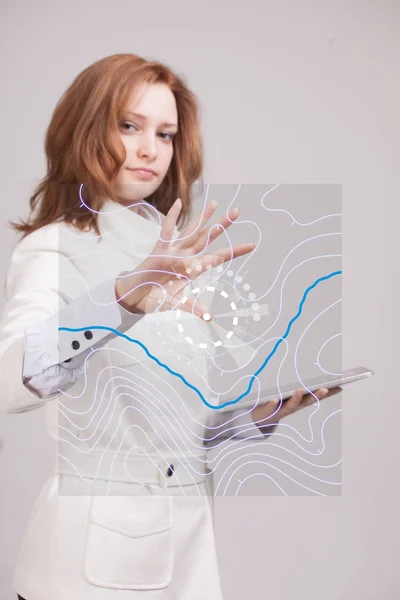
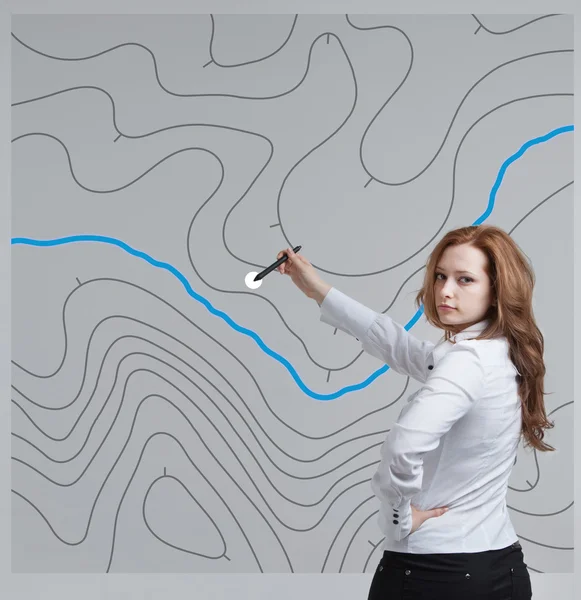
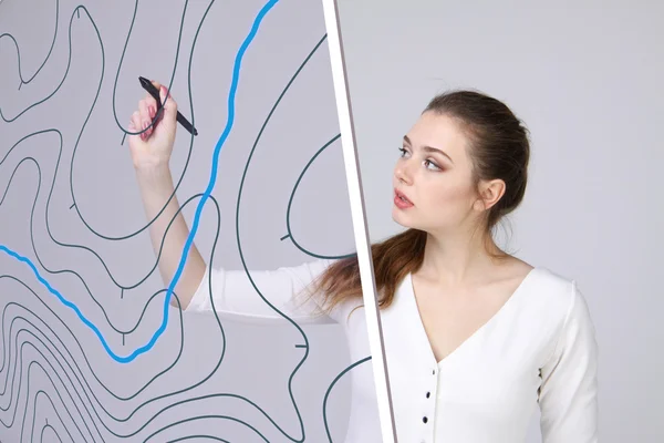
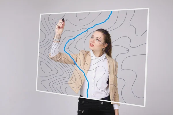
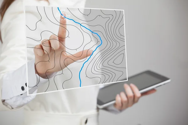
Geographic Information Systems Concept, Woman Scientist Working With Futuristic GIS Interface On A Transparent Screen.
Image, 6.78MB, 3744 × 5616 jpg

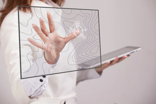
Geographic Information Systems Concept, Woman Scientist Working With Futuristic GIS Interface On A Transparent Screen.
Image, 3.44MB, 3750 × 2500 jpg
Geographic Information Systems Concept, Woman Scientist Working With Futuristic GIS Interface On A Transparent Screen.
Image, 4.37MB, 3750 × 2500 jpg
Geographic Information Systems Concept, Woman Scientist Working With Futuristic GIS Interface On A Transparent Screen.
Image, 2.86MB, 3015 × 2010 jpg
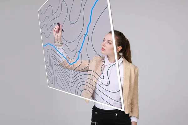
Geographic Information Systems Concept, Woman Scientist Working With Futuristic GIS Interface On A Transparent Screen.
Image, 3.29MB, 3750 × 2500 jpg
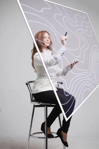
Geographic Information Systems Concept, Woman Scientist Working With Futuristic GIS Interface On A Transparent Screen.
Image, 3.11MB, 2010 × 3015 jpg

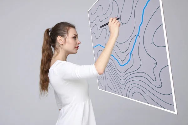
Geographic Information Systems Concept, Woman Scientist Working With Futuristic GIS Interface On A Transparent Screen.
Image, 5.57MB, 4000 × 4123 jpg
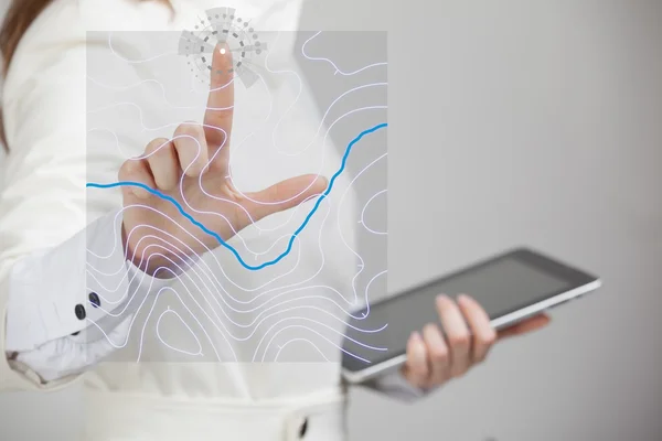
Geographic Information Systems Concept, Woman Scientist Working With Futuristic GIS Interface On A Transparent Screen.
Image, 2.74MB, 3015 × 2010 jpg
Geographic Information Systems, Gis, Cartography And Mapping. Web Mapping. GIS Day.Dark Background
Vector, 0.59MB, 7096 × 5000 eps
Geographic Information Systems Concept, Woman Scientist Working With Futuristic GIS Interface On A Transparent Screen.
Image, 5.39MB, 4000 × 4123 jpg
Geographic Information Systems Concept, Woman Scientist Working With Futuristic GIS Interface On A Transparent Screen.
Image, 2.78MB, 3015 × 2010 jpg

Geographic Information Systems Concept, Woman Scientist Working With Futuristic GIS Interface On A Transparent Screen.
Image, 2.69MB, 3015 × 2010 jpg
Geographic Information Systems Concept, Woman Scientist Working With Futuristic GIS Interface On A Transparent Screen.
Image, 4.06MB, 3015 × 2010 jpg
Geographic Information Systems Concept, Woman Scientist Working With Futuristic GIS Interface On A Transparent Screen.
Image, 3.25MB, 3750 × 2500 jpg

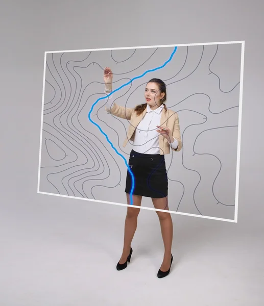
Geographic Information Systems Concept, Woman Scientist Working With Futuristic GIS Interface On A Transparent Screen.
Image, 4.63MB, 3168 × 3459 jpg
Geographic Information Systems Concept, Woman Scientist Working With Futuristic GIS Interface On A Transparent Screen.
Image, 3.74MB, 2600 × 3015 jpg

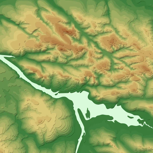
Geographic Information System Banner With Topographic 3d Background. Vector Abstract Topographic Map Concept
Vector, 10.3MB, 5000 × 5000 eps
GIS Pixel Perfect RGB Color Icon. Geographic Information System. Remote Sensing. Gps Tracking, Information Technology. Isolated Vector Illustration. Simple Filled Line Drawing. Editable Stroke
Vector, 0.58MB, 5000 × 5000 eps
GIS Two Color Line Icon. Geographic Information System. Remote Sensing. Gps Tracking, Information Technology Bicolor Outline Symbol. Duotone Linear Pictogram. Isolated Illustration. Editable Stroke
Vector, 0.58MB, 5000 × 5000 eps
GIS Pixel Perfect White Linear Icon For Dark Theme. Geographic Information System. Remote Sensing. Gps Tracking, Technology. Thin Line Illustration. Isolated Symbol For Night Mode. Editable Stroke
Vector, 0.58MB, 5000 × 5000 eps
GIS Pixel Perfect Black Glyph Icon. Geographic Information System. Remote Sensing. Gps Tracking, Information Technology. Silhouette Symbol On White Space. Solid Pictogram. Vector Isolated Illustration
Vector, 0.56MB, 5000 × 5000 eps
GIS Pixel Perfect Linear Icon. Geographic Information System. Remote Sensing. Gps Tracking, Information Technology. Thin Line Illustration. Contour Symbol. Vector Outline Drawing. Editable Stroke
Vector, 0.58MB, 5000 × 5000 eps
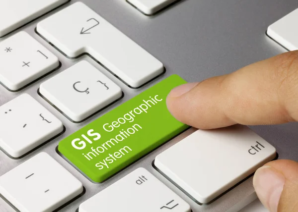
GIS Geographic Information System Written On Green Key Of Metallic Keyboard. Finger Pressing Key
Image, 7.62MB, 5242 × 3744 jpg

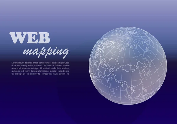
Geographic Information Systems, Gis, Cartography And Mapping. Web Mapping
Vector, 3.36MB, 5000 × 5000 eps

A 3D Illustration Featuring A Humanoid Robot Engaged In Studying A Geography Map On A Laptop, Showcasing The Application Of Artificial Intelligence In The Fields Of World Geography And Economy.
Image, 9.07MB, 6767 × 4512 jpg

Artificial Intelligence AI Search And Update Cadastral Parcels - Cadastre Management With Big Data - Digitization And Computerization Of The Land Register Concept
Image, 8.93MB, 6000 × 3993 jpg

A 3D Illustration Featuring A Humanoid Robot Engaged In Studying A Geography Map On A Laptop, Showcasing The Application Of Artificial Intelligence In The Fields Of World Geography And Economy.
Image, 9.53MB, 7000 × 4667 jpg
Page 1 >> Next