Home
Images
Vectors
Videos
Stock vector Geographic information systems, gis, cartography and mapping. Web mapping. GIS day
Published:
Jan.09, 2019 08:23:27
Author:
NatalyKa7
Views:
106
Downloads:
7
File type:
vector
/
eps
File size:
12.44 MB
Orginal size:
7812
x
5000
px
Available sizes:
S
(500 x 320)
M
(1000 x 640)
L
(2000 x 1280)
XL
(7812 x 5000)
VECT
(7812 x 5000)
EL0
(7812 x 5000)
Level:
beginner
Download Vector
Vector topics:
Vector
Relief
Europe
Raster
Elevation
Cartography
Latitude
Longitude
Asia
Topography
Countries
Projection
Modeling
Coordinates
Contours
Lettering
Hydrology
GIS
World Map
Photogrammetry
Geographic Information Systems
Coordinate Transformation
Gis Day
Mapping Web Mapping
Similar stock vectors
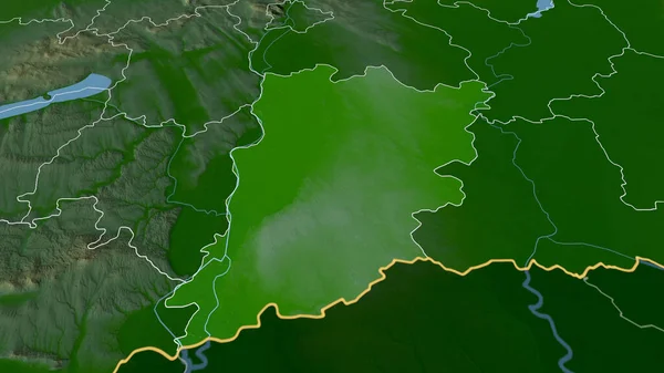
Bacs-Kiskun - County Of Hungary Zoomed And Highlighted. Main Physical Landscape Features. 3D Rendering
2880 × 1620
Mean Temperature Of Warmest Quarter Within The Austria Area In The Stereographic Projection With Legend - Raw Composition Of Raster Layers With Dark Glowing Outline
2880 × 1620
Zoom In On Chagang-do (province Of North Korea) Outlined. Oblique Perspective. Topographic Relief Map With Surface Waters. 3D Rendering
3840 × 2160
3d Isometric Relief Map Of Colombia With Shadow
4000 × 4000
Mean Diurnal Temperature Variation Within The Nigeria Area In The Stereographic Projection With Legend - Raw Composition Of Raster Layers With Dark Glowing Outline
2880 × 1620
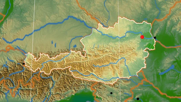
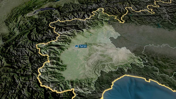
Austria Outlined On The Physical Orthographic Map. Capital, Administrative Borders And Graticule
3840 × 2160
Piemonte - Region Of Italy Zoomed And Highlighted With Capital. Satellite Imagery. 3D Rendering
2880 × 1620
Guizhou - Province Of China Zoomed And Highlighted With Capital. Main Physical Landscape Features. 3D Rendering
2880 × 1620